While the official snow total at TF Green (16.6″) is not close to a record breaker, the impact from this storm may be among the biggest from a New England snowstorm. Nearly 600,000 in MA and CT were without power Saturday morning. Moderate to major coastal flooding occurred at the Saturday morning high tide on the E MA coast.
Saturday afternoon will be cold and blustery. The wind will diminish Saturday night, and it looks frigid with lows in the single digits to low teens. See the links below for snow totals, power outage info, etc.
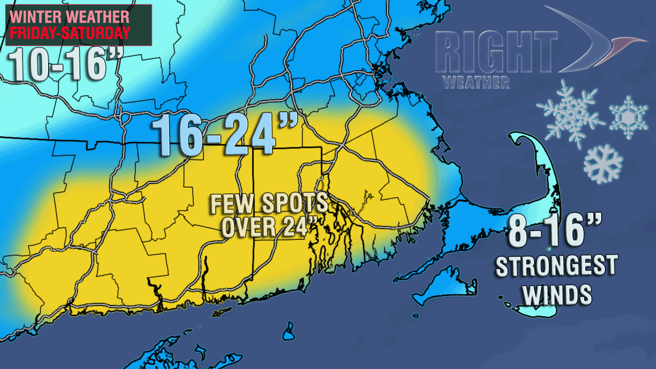
Saturday morning update
The paralyzing blizzard continues in SNE early Saturday. Heavy snow bands will slowly move east, away from the area. Strong winds will continue all day. The temperature has dropped to the teens and low 20s, and will not rise too much during the day.
There are some links below to totals, damage reports, power outages, etc. Moderate to major coastal flooding will occur on part of the E MA coast this morning at the time of high tide.
From Friday evening
Snow and power outages were piling up prolifically in Southern New England Friday evening. Most of CT, RI and MA were already reporting 6-12″ of snow, and it was coming down furiously, with widespread lightning strikes reported. The wind was increasing with many gusts over 45 mph, and gusts to nearly 60 mph. The snow is very heavy and wet – especially near the coast, and the weight of the snow was beginning to weigh down trees and power lines. Nearly 20,000 in RI were without power as of 7:15 pm.
Power outages in RI – https://www1.nationalgridus.com/PowerOutageMap-RI-RES
Snow reports – http://1.usa.gov/VxkZuM
Damage reports – http://1.usa.gov/TWpqxu
The very heavy snow rates are expected to continue through 1 am, with moderate to heavy snow after midnight. The peak winds will occur within a few hours of midnight. The storm will continue to hammer RI and SE MA into early Saturday, before slowly moving east away from the coast during the day. Heavy snow is possible through late morning along the Eastern MA coast.
The temperature will fall from the upper 20s and low 30s to the upper teens to low 20s after midnight. That will change the consistency of the snow from wet and heavy to dry and powdery in most spots away from the immediate coast.
Significant coastal flooding will occur in some spots along the Eastern MA coast at the time of high tide Friday night and Saturday morning.

This storm has a very good chance of becoming one of the top-5 snow storms since 1905 in Providence, RI, and it may make a run at the all-time great Blizzard of 1978. The focus of the heaviest snow is likely to be over E CT, all of RI, and SE MA.


