A wild storm that brought strong winds and 1-2″ of rain to Southern New England ended as sleet and snow before dawn on Wednesday. A coating of snow and sleet was on the ground in many spots as the temperature fell to near freezing early in the day.

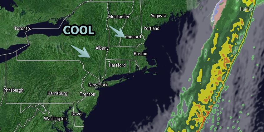
Wednesday afternoon will be partly to mostly sunny, and unseasonably cool. There will be a 10-25 mph north-northwest wind, and highs in the mid to upper 40s. Wednesday night looks clear and cold with a diminishing breeze. Lows will be in the 20s in the countryside, and low to mid 30s near the coast and in the cities.
Cool and dry weather in RI and SE MA will persist through the end of the workweek. The low temperature Thursday and Friday mornings will be near freezing, and the high temperature will be in the mid 40s to low 50s, with a better chance of reaching 50° on Friday. Skies will be partly cloudy to mainly clear. There will be a northeast breeze.
Saturday looks partly to mostly cloudy, with showers possible in the afternoon and at night. It does not look like a washout. Highs will be in the 50s. The early outlook for Easter Sunday and Patriots Day is for dry and seasonably cool weather. Highs in the mid 50s, and lows in the mid to upper 30s.


