The stock April weather continues in Southern New England. It has not been excessively warm or cold, and the rainfall is near normal through the first third of the month.
We’ll have a decent warm-up, especially inland, in the next several days. Highs should be in the 60s Friday through Tuesday away from the coast. In fact, there may be a 70° day or two thrown in there. Onshore breezes will keep the coast about 10-15° cooler. The only shot at rain through midday Tuesday is Friday into Friday night with scattered showers. The best chance of showers is Friday night.
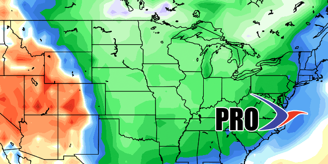
There will likely be rain in the middle of next week, primarily from late Tuesday into early Wednesday. The rain will be followed by a relative cold shot in the middle to end of next week. The temperature will be a few to several degrees below normal from Wednesday into the Easter weekend. There are signs of a storm sometime around Easter or Patriots’ Day. Nothing is set in stone, but it bears watching.


