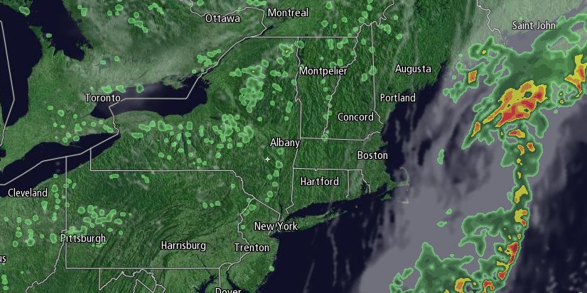
Locally heavy rain led to flash flooding in Southeastern New England on Wednesday as a slow-moving cold front eased through the area. It will be damp into Wednesday evening, but the heaviest rain will move offshore by sunset. Some clearing is possible by late at night as drier weather moves in on a light west-northwest breeze.
It will become partly sunny during the day on Thursday. Highs will be in the upper 70s to low 80s with a 5-10 mph northwest breeze that turns onshore near the coast late in the day. The dew point will be in the upper 50s to low 60s – much more comfortable than the past few days.

Thursday night looks mainly clear and seasonably cool. Lows will be in the upper 50s to low 60s. Friday should be a great day with just a few fair weather clouds and highs in the upper 70s to low 80s. There will not be much humidity.
The weather looks pleasant this weekend. High pressure will nose in from the Canadian Maritimes, and that will keep the muggy weather away while allowing for partly sunny skies. We’ll be watching a disturbance just off the East Coast. Right now, it looks like it will not bring anything more than clouds to the coast until at least late Sunday.
Saturday morning will be clear and comfortable, with lows near 60. Saturday afternoon should be partly to mostly sunny with highs in the upper 70s to low 80s. It will be mainly clear and comfy Saturday night. Lows will be near 60 again on Sunday morning. An easterly breeze will keep the temperature in the 70s in many spots on Sunday afternoon. Clouds may increase from south to north during the afternoon. Any showers will hold off until near sunset or later.
The forecast for early next week is tricky, and hinges on the offshore disturbance. It’s possible it will stay far enough away that decent weather continues into the midweek. It’s also possible that the axis of rain moves west into Southern New England bringing the chance of showers on Monday. It does not, however, look like there will be any extreme heat or humidity in the next week. We will continue to fine tune this forecast in the next couple of days.


