A cool northeasterly breeze prevented the temperature from getting above the low 60s in most of Southeastern New England on Friday in spite of full sunshine. It will be clear and chilly Friday night. The wind will relax, and the temperature will fall into the upper 30s to low 40s in the countryside, and low to mid 40s in the cities and near the coast.

Saturday will be partly to mostly sunny and seasonable. Highs will be in the mid to upper 60s near the coast, and low 70s inland. Clouds will increase Saturday night, and a few showers are possible, especially near the coast, by dawn on Sunday. It will not be nearly as cool as Friday night, with lows in the low 60s.
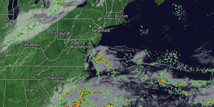
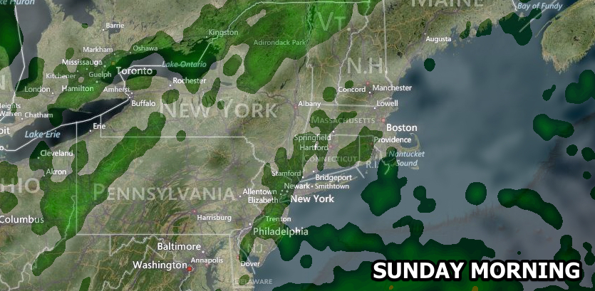
Sunday does not look like a spectacular day. An approaching cold front and offshore storm will combine to yield scattered showers. It will not be a washout, however, and with a bit of sunshine the temperature should reach the low to mid 70s inland. An onshore breeze may keep stubborn clouds near the coast. The shower threat continues Sunday night. It will not be a widespread steady rain, and certainly not the soaking the lawns need during this dry stretch that dates back to mid-August.
The outlook for next week is for fair and dry weather as a huge area of high pressure sets up shop in the Eastern United States. Highs will be in the upper 60s to low 70s Monday through Wednesday, and lows will be in the 40s. Right now, it looks like the dry weather will continue into next weekend.


