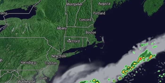
Summer-like humidity returned to Southern New England on a southerly breeze ahead of a cold front on Thursday. Passing showers are possible Thursday night as the front moves through Rhode Island and Southeastern Massachusetts. The rain will not be widespread and it will not be heavy enough to reduce widespread dry conditions that have developed over the past couple of months. The temperature will fall into the low to mid 50s as skies clear after midnight.

A northwesterly breeze will bring in drier weather on Friday. It looks like a pleasant day with highs in the low to mid 70s and partly to mostly sunny skies. It will be mainly clear and comfortable Friday night. Lows will be in the low to mid 50s. The Aurora Borealis may be visible in New England Friday night after a couple of solar events in the past few days.
Saturday will start with some sunshine before clouds increase, and showers are likely late in the day and/or during the evening. A thunderstorm is possible. Highs will be in the upper 60s to low 70s. Skies will clear late Saturday night, and the temperature will tumble into the low to mid 50s. Sunday looks mostly sunny with highs in the low 70s.
Mainly clear and quiet weather is ahead for Monday. The low temperature Monday morning will range from the 40s in the countryside to low 50s in the cities and near the coast. It will be mostly sunny with highs in the low 70s.
Rain is possible Tuesday, but the system should move quickly, and it will likely be dry again on Wednesday. Highs will continue to be in the upper 60s to low 70s, and lows will be in the 50s.


