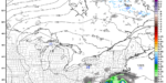
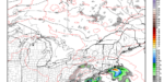
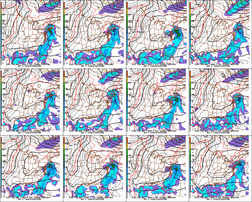
The potential fly in the ointment of a forecast for a pleasant and dry week in Southern New England is a storm that develops right near the Eastern Seaboard and hugs the coast as it moves north. The latest computer model trend brings the storm closer to Southern New England sometime between Thursday and early Friday. There are still some models that do not bring showers, but those are trending north with the system, too. The GFS and Canadian models paint the wettest picture with a soaking rain on Thursday. This September is among the driest on record in Southeastern New England, and any rain is welcome.
At this point, the odds are creeping pretty close to 50/50 that there will be showers sometime Thursday and/or early Friday. If the model trend continues today, rain or showers become the likely scenario in that timeframe. The best chance of seeing rain is near the coast.