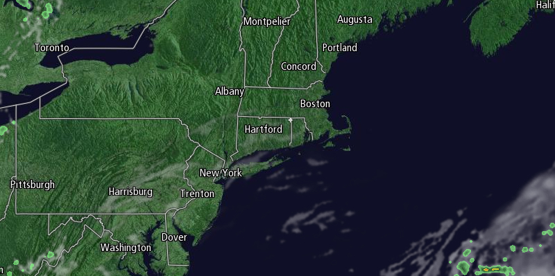
Much-needed showers rolled through Southern New England Saturday evening ahead of a cold front. The front will be offshore by Sunday morning, and it will be a great end to the weekend. In fact, an extended stretch of mainly dry and cool weather is ahead for Southern New England.

Sunday morning will begin with clear skies and lows in the upper 40s to mid 50s. It will be sunny, breezy, and cool in the afternoon. Highs will be in the mid to upper 60s along the Eastern Massachusetts coast, and near 70 inland.
The temperature will drop into the low to mid 40s Sunday night under clear skies without a breeze. Monday will be a beautiful day. There will be plenty of sunshine, and highs will be near 70. Clouds will increase Monday evening ahead of a disturbance that brings the best, and possibly only, chance of rain in the next week. Lows will be in the 50s. Showers are possible by dawn on Tuesday.
Tuesday morning looks showery and cool, with temperatures in the upper 50s to low 60s. The showers should move steadily through New England, and will most likely end by mid to late afternoon. Highs will only be in the low to mid 60s on Tuesday.
Another shot of cool and dry weather will follow in the wake of the showers on Wednesday. Look for highs in the mid 60s to low 70s Wednesday to Friday. It will be clear and chilly at night, with lows in the 40s to low 50s. Some in the countryside may see the temperature dip into the 30s, and a first frost of the season cannot be ruled out by late next week.


