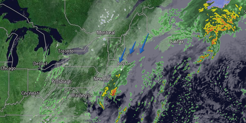
Two storms will develop off the East Coast in the next couple of days. The first will bring rain and gusty winds on Saturday – especially in the afternoon. The second will most likely miss Southern New England to the east, but it will be close enough to bring howling winds and the coldest weather of the season so far Sunday into early Monday.
Clouds will continue to thicken Friday night, and a few showers or drizzle/mist are possible near the coast from the evening through the night. The best chance of seeing showers inland is after midnight. It will be cool, but not bitter cold, with lows in the low to mid 40s. The wind will increase to 10-25 mph out of the north.
Northerly winds will increase during the day on Saturday. Scattered showers are possible through 9 am before steadier rain arrives. The best chance of moderate to heavy rain is on Cape Cod and the islands in the afternoon and evening as the storm moves east of Nantucket. The wind will pick up to 20-35 mph during the afternoon and night, with the potential for stronger gusts. The National Weather Service has issued a High Wind Watch for Rhode Island and Eastern Massachusetts.

Occasional wind-driven rain is likely Saturday night into early Sunday morning. Don’t forget to set your clocks back an hour before going to bed. The temperature will fall into the mid to upper 30s by dawn on Sunday. A brief period of snow is possible, but not highly likely, northwest of I-95 Saturday night. No accumulation is expected.
Rain will end early Sunday in Rhode Island and interior SE MA, but showers may linger through the morning along the Eastern MA coast, especially on Cape Cod. It will be windy and very cool. The temperature will struggle to reach the low to mid 40s, even as clouds break up in Rhode Island. The wind will howl from the northwest. Look for 20-35 mph winds, with the potential for 50+ mph gusts. Wind chills will be 10-15° colder than the air temperature. Check out the forecast for the Patriots vs. Broncos at Gillette Stadium early Sunday evening.
Sunday night will be clearing, windy, and cold. Lows will be in the mid 20s to low 30s with 15-30 mph northwest winds that diminish to 10-20 mph late at night. It looks mostly sunny on Monday. Highs will be near 50 after the chilly start.
Warmer weather is ahead for the middle of next week. Highs will be near 60 on Tuesday, and in the 60s inland on Wednesday. Both days looks dry, with mostly sunny skies on Tuesday, and partly cloudy skies on Wednesday. Showers are possible late Wednesday into Thursday.


