Long-Range Forecast – November 24

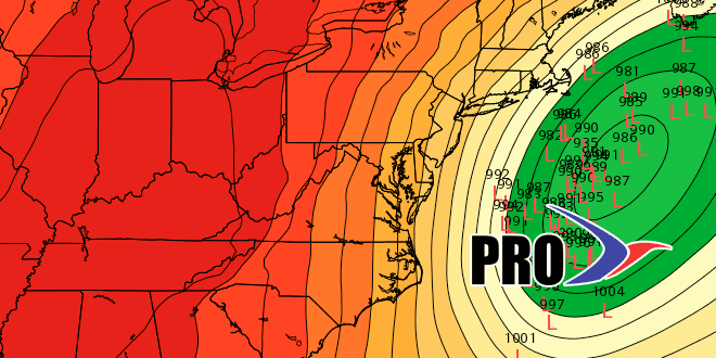
November has been cold and stormy in the Northeastern United States. Just in time for pre-Thanksgiving travel, there will be another cold and stormy day on Wednesday. If you have followed our forecast, you know that we are favoring cold rain or mixed precipitation over heavy accumulating snow in the I-95 corridor. This is the Long-Range Forecast, so we’ll skip over that storm and get to the weather through the weekend and next week.
It will be cold and dry from Thursday afternoon through Saturday afternoon. Friday looks like the coldest day with highs only in the 30s – even with sunshine. Lows may dip into the teens to low 20s Saturday morning, but it will bounce back to the low 40s in the afternoon. That will be the start of a warm-up that lasts into early next week. Sunday and Monday may reach the 50s. The weather will likely stay quiet through the middle of next week as a storm system slowly takes shape over the central United States. That storm will eventually bring rain to Southern New England, but it may not be until the end of next workweek or the weekend. Temperature-wise, it will be at or above normal for most or all of next week. November will end with an average temperature 2-3° colder than normal, but it does not look like December will start the same way. The temperature should be above normal for the first half of the month.


