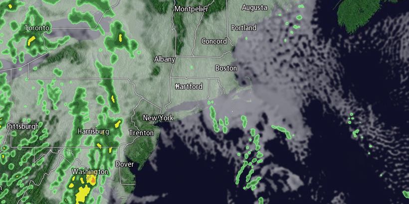
Clouds will increase Monday night, and patchy drizzle may develop late at night. The temperature will fall to near freezing in the evening, and some spotty freezing drizzle is possible inland before dawn on Tuesday. It does not look as widespread as last week, but, if it develops, it could lead to some slick spots early Tuesday.

It will be cloudy and damp on Tuesday. The temperature will climb out of the 30s into the low to mid 40s during the afternoon. The best chance of reaching the mid 40s is near the coast – particularly in Southeastern Massachusetts. Widespread rain showers are not likely on Tuesday, but there could be occasional patchy drizzle.
Rain showers will move through Tuesday night into early Wednesday morning. The temperature will hold in the low 40s Tuesday night. After a showery start, Wednesday will become mostly cloudy. It will be a relatively mild day, with highs in the upper 40s. A stray rain showers cannot be ruled out Wednesday evening.
Quiet and cool weather is likely from Thursday into the weekend. Look for highs near 40 and lows in the 20s with partly cloudy to mainly clear skies. A storm system moving off the Mid-Atlantic coast may come close enough to bring snow and/or rain on Sunday. The track of the storm is still unclear, and it’s too early to say if it will slide out to sea and miss Southern New England or bring steady precipitation. We’ll have an update on Tuesday.


