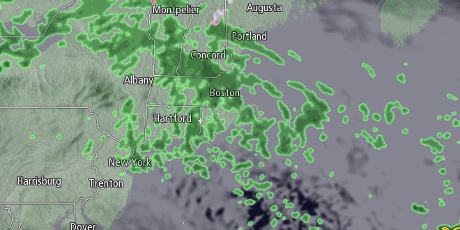
Back to back storms will bring wet weather to Southeastern New England from Tuesday through Christmas morning. Rain will develop early Tuesday as a weakening storm moves up the Eastern Seaboard. There will be an easterly breeze, with highs in the low to mid 40s. Rain showers will continue through the afternoon before ending at night. Patchy mist and drizzle is possible Tuesday night as it stays mild, with lows in the 40s.

A bigger storm brings rain, gusty wind, and minor coastal flooding concerns Wednesday into Thursday. Rain will redevelop Wednesday morning, and it will most likely be steady in the afternoon. The temperature will rise through the 40s into the 50s as the wind shifts to the south-southeast and increases to 15-30 mph with the highest gusts near the coast.
It will be a wet Christmas Eve, with wind-driven rain continuing through the night. The temperature will stay in the 50s to low 60s. 15-30 mph south-southeasterly winds may occasionally gust to 40-45 mph in heavier showers. Even a thunderstorm cannot be ruled out! Unfortunately, it looks like the rain will linger through most of Christmas morning. The temperature will stay in the 50s on Thursday, with skies becoming partly cloudy during the afternoon. Rain totals between Tuesday and Thursday should be between 1.5-3″ in most of Southeastern New England. River flooding is not a big concern, but there will likely be some ponding on the roads Wednesday night and early Thursday.
| Providence Area Records Since 1904 |
||
| Date | High Temperature | Rainfall |
| December 24 | 60 (1990) | 1.66″ (1994) |
| December 25 | 63 (1964) | 1.68″ (1978) |
The wind will shift to the west and increase to 15-35 mph with a few higher gusts on Thursday afternoon. It will not get considerably cooler late in the week into next weekend. Friday will be partly sunny with highs in the upper 40s to low 50s. It may be even warmer on Saturday. You can expect partly to mostly sunny skies and highs in the low to mid 50s with a west breeze.
There is a possibility of rain and snow on Sunday into early Monday. Right now, it looks like a better chance of rain than snow in Southeastern New England. It will turn colder, with highs in the low 40s on Sunday.


