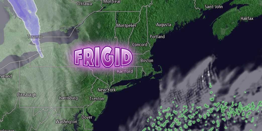
Southern New England will spend the next couple of days digging out from the Blizzard of 2015. Wednesday will feature partly to mostly cloudy skies, and highs in the mid to upper 20s. It will be breezy, but not very windy, with a 10-20 mph northwest wind. The wind will diminish and skies will clear Wednesday night. With all the fresh snowpack, it will be a frigid night. Lows will be between 5 below and 5 above zero Thursday morning.

Thursday will begin with sunshine through the morning. Clouds will roll in late in the day ahead of the next storm system that will bring snow showers from late Thursday night through Friday into Saturday. It does not look like it will lead to more than an inch or two in Rhode Island, but there could be a few inches of snow in Eastern Massachusetts as the snow may be steadier Friday night into early Saturday in that area. Highs will be near 30 on Thursday, and in the upper 20s to low 30s on Friday.
Any snow will end Saturday morning, and most of the weekend looks dry. Saturday will be brisk and very cold. The temperature may not make it out of the teens. Look for sunshine on Sunday, with highs in the mid to upper 20s.
Another storm is likely Sunday night into Monday. It’s a close call between snow and rain in Southeastern New England. We’ll have the latest on it’s track by Wednesday evening.


