There has still been just one 50° day in the Providence area since mid-January. The normal high temperature reaches 50 this weekend, and it does not look like getting to 50 will become routine anytime soon. The temperature may spike to 50 on Tuesday ahead of a cold front, but the rest of the week should be sub-50, with it only in the low 30s on Wednesday afternoon.
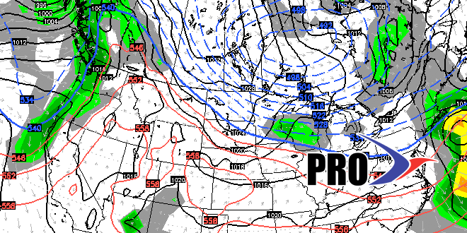
There is a snow threat Friday night. A storm moving out of the southern branch of the jet stream may come far enough north to bring steady precipitation, but stay far enough south to keep enough cold air in place to allow for snow. The timing of the steady precipitation looks like it will be after sunset, so accumulating snow is possible. We’re not talking about a blockbuster, but a few inches cannot be ruled out.
Anything that falls will likely melt on Saturday as the temperature reaches the mid 40s. Another cold front will bring a sharp cool down Sunday into early next week. The overall pattern looks chilly to end March, and, if you watch the video, you’ll see that April does not look warm, either. There are not imminent snow threats after Sunday, but the pattern is such that there we could be talking about snow potential through the rest of this month into early April.


