Long-Range Forecast – March 2

The short answer to whether this pattern will end anytime before the start of spring is “yes and no”. Do not expect an early spring, but, the pattern will not be as brutally cold, even relative to normal, as it was in February. A snowy first week of March will continue with snow to rain Tuesday night, and a potentially dynamic event Thursday morning. After 4.6″ at TF Green yesterday, there is a chance the monthly total will be 10″ by the end of Thursday. That would be more than we typically see for the rest of winter after March 1, and it would push this winter into the top-5 snowiest in Providence, passing 1977-78.
The weather looks quiet and cool this weekend. As mentioned in the video, there is a chance of something forming near New England early next week. Right now, it looks like it will develop too late and miss us, but the way things have gone…
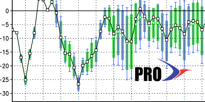
The pattern will be fairly cold for early mid-March through next week, but not as brutal as it has been. If we can manage to get dry weather for a little while, which is possible next week, then that would help with having a slow and steady meltdown instead of dealing with rain, leaky roofs, and ice-clogged storm drains. Check out the video for more on the forecast.


