Saturday will be mostly sunny and relatively warm in Southeastern New England. Highs will be near 70° inland, and in the 60s at the coast with a southwest breeze. There is a slight chance of a passing late-afternoon or early evening shower or thunderstorm away from the coast.

It will turn cooler with mainly clear skies Saturday night. Lows will be in the low to mid 40s Sunday morning. Look for sunshine Sunday afternoon. Highs will be closer to normal – in the mid to upper 50s.
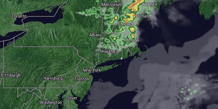
Clouds will increase late Sunday night as a rainstorm approaches from the west. Rain will develop by midday Monday, and it may be heavy at times Monday night. A thunderstorm cannot be ruled out. An inch or more of rain is possible. Monday will be cool, with the temperature struggling to get out of the 40s. There will be a 10-25 mph east-southeast breeze.
Showers may linger a bit on Tuesday morning before drier weather arrives in the afternoon. Highs will be near 60 on Tuesday. The weather looks somewhat cool, and potentially unsettled, in the mid to late workweek. The temperature will struggle to get out of the 50s Wednesday through Friday. Pop-up afternoon showers are possible with relatively cool air overhead.


