The temperature barely reached 50° on Thursday in the Providence area. That’s more than 10° cooler than normal for the date. There were also some snow showers in Connecticut! So, after a mild stretch in mid-April, we are back into a cool pattern. The temperature will be at or below normal for the next week or so. It will be a mainly dry pattern in the next week to 10 days. Just a stray shower is possible on Friday, and the weekend will likely be dry.
A disturbance moving through early next week will likely trigger showers and possibly a thunderstorm on Monday. It may be close enough for a few more showers on Tuesday. Highs will be in the 50s from Friday through Tuesday.
The middle of next week should be closer to normal for late April and early May. Right now, it does not look like any big storms will be coming down the pike, and it may be mainly dry through most of the first week of May. Cold fronts could bring scattered showers from time to time. The pattern looks fairly progressive.
Headlines
- Mainly dry pattern next two weeks
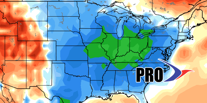
- Cooler than normal for the next 6 days. Near to slightly warmer than normal after that.
- Still don’t see a big pattern change that would lead to an extended stretch of warm weather.
- An extended stretch of cool/raw weather is also unlikely in this pattern. The next 6 days, while a bit cool, will not feature an onshore breeze that makes it raw/damp at this time of the year.


