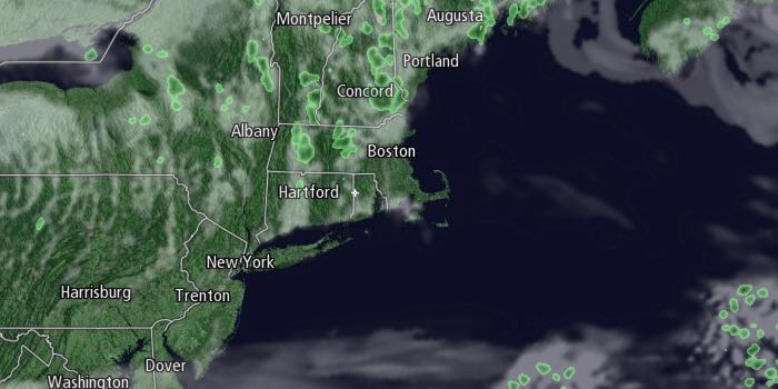
The temperature will continue running a bit below normal through the end of the weekend. The low temperature will be in the 30s for the fourth straight day on Sunday morning. It will be a clear start to the day. Clouds will tend to increase a bit in the afternoon, especially in Eastern Massachusetts and away from the coast. The high temperature in the afternoon will be in the mid to upper 50s for all but the Eastern Massachusetts coast where it will stay in the upper 40s to low 50s with more clouds and an onshore breeze. A stray inland shower cannot be ruled out late in the day.

A disturbance moving through early next week will keep it cool in Southeastern New England. The temperature will dip to near 40 by early Monday morning with partly cloudy skies. Monday looks mostly cloudy with scattered showers. A thunderstorm is possible. Highs will only be in the low to mid 50s. The best chance of rain is in the afternoon and early evening.
A few lingering showers are possible on Tuesday as the disturbance hangs around the Northeast. Skies will be partly to mostly cloudy. Highs will be in the low to mid 50s again. It will turn milder with mostly sunny skies on Wednesday. You can expect highs in the low to mid 60s.
Mainly dry weather is likely through the end of next week. It may be a bit cooler with a northeast breeze on Thursday with a northeast to east breeze. Skies look mainly clear to partly cloudy. Friday looks dry and seasonable. The early, early outlook for next weekend is for warmer weather, especially on Sunday.


