Brighter, Warmer Early in the Week

It will be a damp and dreary start to the workweek. Early Monday morning will feature clouds and fog. Temperatures will be in the upper 50s to low 60s. The low clouds will burn off to partly sunny skies by midday. There is a slight chance of a pop-up afternoon shower, but for most it will be a dry day. Highs will be in the mid to upper 70s.

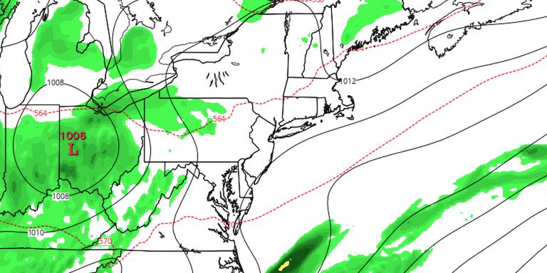
It will be partly cloudy Monday night. Lows will be near 60. Tuesday looks like a decent day. Expect a blend of sun and clouds. Highs will be in the upper 70s to low 80s. A midweek cold front will threaten the area with showers and thunderstorms Tuesday night and Wednesday. The best chance of showers/storms is during the day on Wednesday. The shower threat continues into Wednesday evening.
It looks like the front will get just far enough away on Thursday that the weather will be dry. It will be partly cloudy and seasonably warm. Highs will be in the upper 70s to low 80s. The forecast is rather uncertain heading into the 4th of July weekend. The overall pattern is still fairly unsettled, and the forecast should be watched closely. Right now, it looks like the best chance of rain is Friday night into Saturday morning, with mainly dry weather on the 4th.


