Hottest Stretch of the Summer Ahead

The temperature flirted with 90 degrees inland on Tuesday. It will likely be a few degrees warmer on Wednesday, and the hot stretch will last into next week.
WEDNESDAY
There may be a bit of early fog and some low clouds, but those will quickly burn off to mostly sunny skies. A southwest wind will send the temperature into the low 90s inland. It will be in the 80s near the coast. Unlike the past few days, there is no thunderstorm threat on Wednesday. The night looks warm and muggy, with lows in the low 70s.

THURSDAY
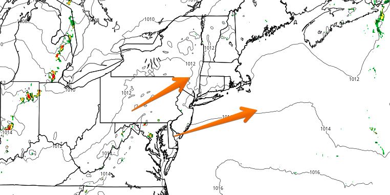
An approaching cold front will bring some clouds on Thursday afternoon. The cloud cover may be enough to prevent the temperature from reaching 90 in some spots. In any event, it will be very humid with highs in the mid to upper 80s. If there’s enough sunshine, inland locations will reach the low 90s. It looks like scattered thunderstorms will hold off until Thursday night as the cold front pushes through late at night. Lows will be in the 70s again.
FRIDAY
Less humid weather arrives on Friday. It will stay relatively warm, with highs in the upper 80s to low 90s under mostly sunny skies. There will be a 10 mph west-southwest breeze.
WEEKEND
Both days this weekend look hot and rain-free. Highs will be in the mid 80s near the coast, and low 90s inland on Saturday and Sunday. Skies will be mostly sunny during the day, and mainly clear at night. It does not look oppressively humid. The hot stretch continues early next week before thunderstorms threaten in the mid to late workweek.


