We are in the midst of the hottest stretch of the summer to date. A few spots may see a third straight 90° day on Tuesday, but most will not have a heat wave. The hotter weather is nothing out of the ordinary for what’s typically the warmest time of the year. The normal high is in the mid 80s, so reaching 90° is less than 10° above normal – not that big of a deal. We were not expecting a lot of extreme heat this summer, and it looks like that pattern will hold through the end of July into early August.
Drier and cooler weather is on the way for late in the workweek into the weekend. The weather for the Taylor Swift concerts will be pretty good. There’s a slight chance of pop-up showers between 3-7 pm on Fri/Sat, but odds are they’ll stay away, and it will be delightful in the evening without much humidity and comfortably mild temperatures.
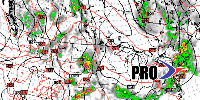
A front may bring showers/storms late in the weekend. It’s still early but the timing look like Sunday afternoon or night – which is a big difference if you have outdoor plans in the afternoon. We’ll keep you posted.
The overall pattern favors cold fronts moving through the Northeast every few days at the end of the month and in early August. That means we will not get stuck with any particular weather for too long. Extended hot/cool stretches are unlikely. See the video for more.


