Monday will be a fine day with partly to mostly sunny skies. Highs will be in the mid 80s inland, and in the upper 70s to low 80s at the coast. There will be a 5-10 mph southerly breeze. It does not look very humid, but it won’t be as comfortable as Sunday was. Clouds will increase Monday night as a warm front approaches. It will be mild and damp, especially near the coast. Lows will be in the mid 60s. Patchy fog is possible.

Tuesday will be a transition day as muggier weather arrives. Skies will be partly to mostly cloudy, and stray showers cannot be ruled out. The temperature will climb into the upper 70s to low 80s. If the sun breaks out for a few hours in the afternoon, highs will be in the low to mid 80s. There will be a southwest breeze, and the dew point will reach the mid to upper 60s making the humidity noticeable.
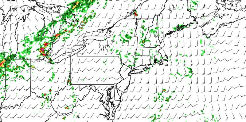
Wednesday will be one of the warmest and most humid days of the summer so far. Clouds will give way to hazy sunshine, and the temperature will climb into the mid to upper 80s inland. 90° is not out of the question in the Providence area. It would be the first 90° of the year. Showers and thunderstorms are likely Wednesday afternoon and/or early evening as a cold front approaches from the west. There could be some very heavy downpours with a lot of moisture in the air. The shower/storm threat diminishes by late Wednesday night as the front moves offshore.
Thursday will be less humid, and most likely dry. Skies will be partly cloudy with highs in the upper 70s to low 80s. The early outlook for Friday into next weekend is for dry and seasonably warm weather.


