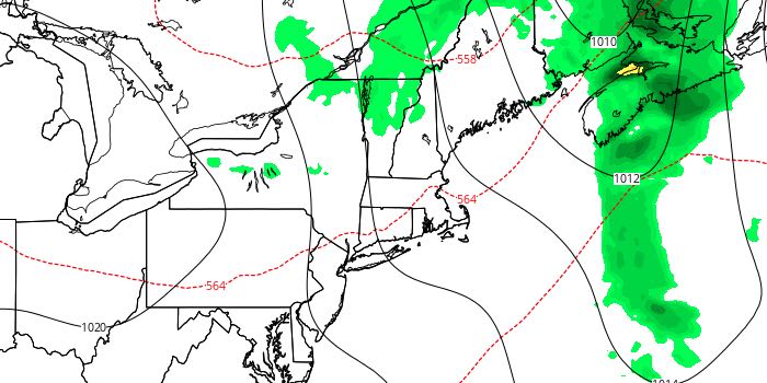
Great End to the Workweek

Lower humidity finally rolled into Southeastern New England on Wednesday. The dew point fell into the 50s to low 60s in the afternoon. It will stay nice and dry through the end of the workweek.
THURSDAY
It will be a clear and comfortable start to the day. Lows will be near 60. Thursday afternoon looks mostly sunny and seasonably warm. Highs will be near 80. Thursday night will be clear and cool. Lows will be in the low 60s.

FRIDAY
It will be an outstanding day with mostly sunny skies and an afternoon sea breeze. Highs will be in the upper 70s to low 80s. Friday night will be comfy, with lows in the mid 50s to near 60 under clear skies.
WEEKEND
We are still expecting a weekend warm-up. The temperature will soar into the mid 80s with plenty of sunshine on Saturday. Sunday looks partly to mostly sunny. It will be a bit more humid, but not oppressive. Lows will be in the mid to upper 60s. Highs will be in the mid to upper 80s inland, and low to mid 80s at the beach.
EARLY NEXT WEEK
Monday will be a hot day, but it does not look overly humid. Highs will be near 90 inland, and in the 80s at the coast. Scattered showers and thunderstorms are possible on Tuesday as it stays hot. Highs will be near 90 inland again. The very warm weather will continue in the midweek.


