15 of the last 16 days of August were warmer than normal in the Providence area. The temperature hit 90° six times during the month. The average temperature was 2.6° warmer than normal. There was 77% of the normal precipitation at TF Green, but that number varies throughout Southern New England due to the localized nature of the thunderstorms this month.
We will roll into September with more summer-like weather through the middle of the week. A brief cool-down to near normal conditions is likely Friday into early Saturday before it starts to heat back up Sunday into Labor Day. Highs in the 90s are possible on Monday. Aside from a passing shower or thunderstorm late Thursday, there is not much of a rain threat in the next week.
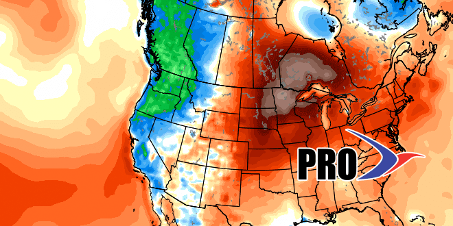
While the first week of September will be much warmer than normal, it looks like the middle of the month will be closer to normal in terms of both temperature and precipitation. The pattern will get more active, and cold fronts will bring rain threats every three days or so. Hurricane season peaks in the next week. Other than Hurricane Fred, which is a threat only to the Eastern Atlantic Ocean islands, there is not much going on in the tropics. Check out the video for more.


