After a week of unsettled weather, the pattern looks rather tranquil for the upcoming week. The temperature will not stray too far from normal, and it will stay dry until late in the workweek.
MONDAY
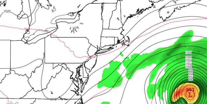
Skies will be mostly cloudy as Joaquin passes out to sea hundreds of miles from the Atlantic Seaboard. There will be a northeast breeze, but it will not be as strong as it was for the past several days. Highs will be in the low 60s. Clearing is likely Monday night with lows in the 40s.

TUESDAY
Look for mostly sunny skies with highs in the mid to upper 60s. The northeast breeze will relax late in the day. Tuesday night will be clear and seasonably cool, with lows in the 40s.
WEDNESDAY
Wednesday looks like the nicest day of the workweek. It should be mostly sunny with highs in the upper 60s to low 70s. It will stay clear and cool Wednesday night.
THURSDAY
It looks dry and slightly cooler on Thursday. Highs will be in the mid 60s with partly cloudy skies. The temperature will dip into the mid to upper 40s Thursday night.
FRIDAY
An approaching cold front may trigger a few showers Friday afternoon and night. Highs will be in the mid to upper 60s, with partly cloudy skies in the morning.
WEEKEND
An early shower is possible on Saturday, but most of the weekend looks dry. Highs will be in the low 60s with partly cloudy skies on Saturday. Sunday looks mostly sunny with highs in the mid 60s. Lows will be in the 40s Sunday morning.


