The nice, dry stretch of weather will be interrupted by a few showers late Friday. The system will move offshore by Saturday morning, and the Columbus Day weekend looks dry with a warming trend.
THURSDAY NIGHT
Clouds will gradually increase Thursday night. It will not be very cool, with lows in the low 50s. Dry weather is likely through dawn on Friday.
FRIDAY
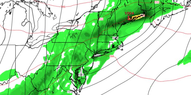
Look for mostly cloudy skies throughout the day. It will be breezy and humid, with an isolated showers possible. Highs will be in the upper 60s to low 70s. The southerly wind will pick up to 10-20 mph with higher gusts near the coast. There is a better chance of rain in the evening. The shower threat ends after midnight, and there will be some clearing by dawn. Lows will be in the mid to upper 40s.

SATURDAY & SUNDAY
It will be mostly sunny, breezy and seasonably cool on Saturday. Highs will be in the low 60s. There will be a 10-20 mph northerly wind. The wind will diminish Saturday evening under clear skies. It will be the coldest night of the season so far. Lows will be in the mid to upper 30s inland with patchy frost. It will be in the upper 30s to low 40s near the coast. Sunday looks like a great day. It will be mostly sunny with highs in the low to mid 60s.
COLUMBUS DAY
Warmer weather is in the forecast for early next week. It will be mostly sunny with highs in the low 70s on Monday.
TUESDAY
Clouds will increase on Tuesday as a cold front approaches from the west. A system off the Atlantic Coast will move north, and may bring a few showers. Highs will be in the upper 60s to low 70s.


