Long-Range Forecast – June 21

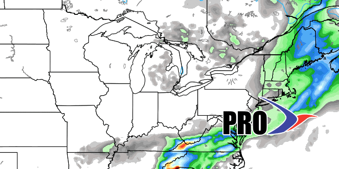
Summer is here, and with it came a round of thunderstorms early Tuesday. It has been a dry month of June so far, so the rain was welcome. Dry weather returned quickly Tuesday morning. It will stay dry with lower humidity through Wednesday before another storm brings showers on Thursday. The best chance of steady rain is Thursday afternoon, and a decent soaking is possible.
It looks like we are heading for the second straight gorgeous weekend in Southeastern New England. Friday will be mostly sunny and seasonable. High pressure moves over New England this weekend, so you can expect lots of sunshine and an early summer feel. It will not be very humid, with lows in the 50s to around 60. Highs will be in the 80s inland and 70s at the coast.
The weather will stay dry early next week. As the week progresses, it will become more humid due to a persistent south-southwest wind. A boundary along the Eastern Seaboard may eventually lead to periods of rain late next workweek. The early outlook is for that boundary to move offshore and the weather to improve for by July 2. However, it is unclear if the dry weather will hold through the 4th of July. The pattern looks progressive and another disturbance may bring showers or t-storms between July 4-5.
Note – after an “upgrade”, my video recording software is not working. Hopefully, this will be resolved relatively soon.


