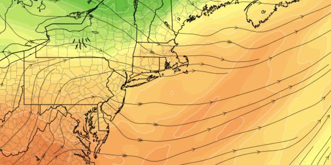
The relatively cool weather that dominated the weekend will persist into Monday morning before a quick warming trend into the midweek. More 90° inland heat is likely in the upcoming week, and, overall, it looks dry.
MONDAY
Clouds early then partly sunny in the afternoon. Not too warm or humid for mid-July. Temperature struggles to get to the upper 70s in the afternoon. May stay in the mid 70s near the coast. Partly cloudy and comfortable at night. Lows in the low 60s.
TUESDAY
A warm-up begins with mostly sunny skies and highs in the low to mid 80s – warmest inland. Mild and muggier Tuesday night. Typical mid-July weather, with lows in the mid 60s.
WEDNESDAY
It looks mostly sunny, very warm, and humid. Highs may flirt with 90 inland, and it will be in the 80s near the coast. It should be a nice beach day. Lows will be in the 60s to near 70 at night.
THURSDAY
Sun and clouds. Warm and humid. Highs in the mid to upper 80s. Mild and muggy at night, with lows near 70.
FRIDAY
A cold front may get close enough for afternoon showers/storms. Highs will be near 90 inland, and in the 80s at the coast.
WEEKEND
It looks like the very warm weather will continue through the weekend. Saturday will be mostly sunny with highs in the mid to upper 80s. Sunday also looks dry with around the same high temperature. Lows Saturday night will be in the mid to upper 60s.


