The weather looks very quiet in the Eastern United States this week at the same time that the tropics begin to heat up. It will feel like late-summer through Tuesday night with clear skies and low humidity. Lows will be in the 50s Monday and Tuesday nights, and highs may not reach 80°, even with sunshine, on Tuesday afternoon. Overall, it’ll be VERY nice, if you ask me.
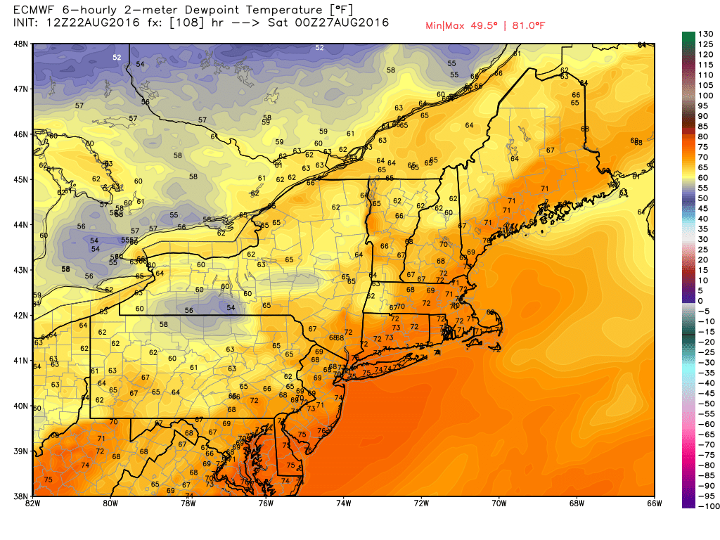
Wednesday and Thursday also look great, albeit more like August, with highs in the 80s. There will be a hint of humidity in the air by Thursday afternoon. Muggy weather is likely on Friday, and a storm system passing well to our north may drag a warm front / cold front combo through the Northeast. It does not look particularly impressive, and widespread rain/thunder is unlikely. The best chance of showers/storms is on Friday.
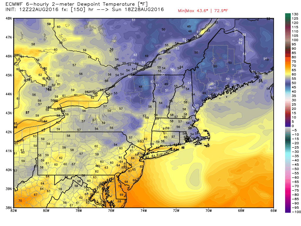
The upcoming weekend will likely begin with warm and muggy weather on Saturday before a cooler/drier breeze develops on Sunday. Highs will likely reach the 80s both days, but Saturday should be the warmer of the two. The weather looks pretty quiet through the middle of next week.
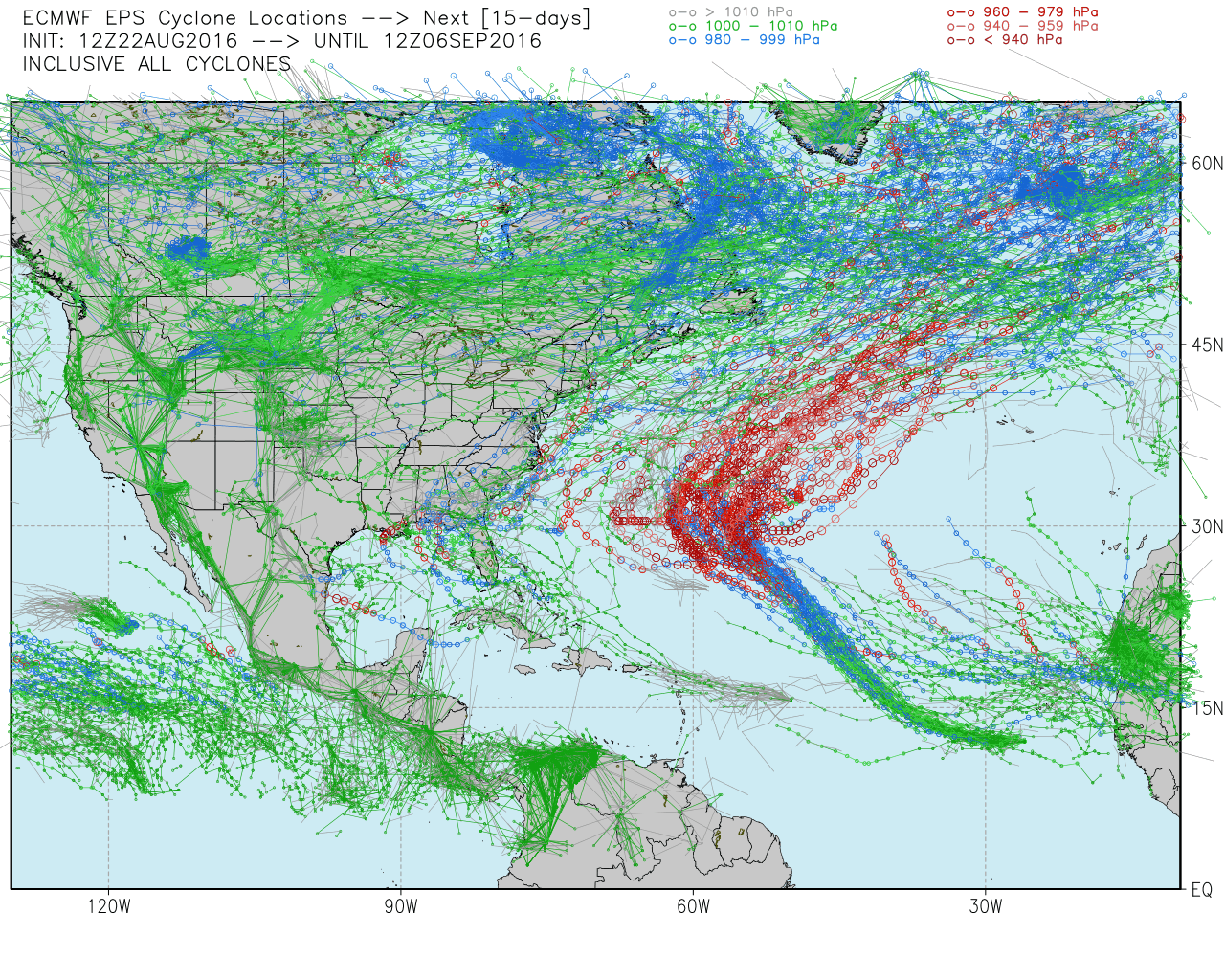
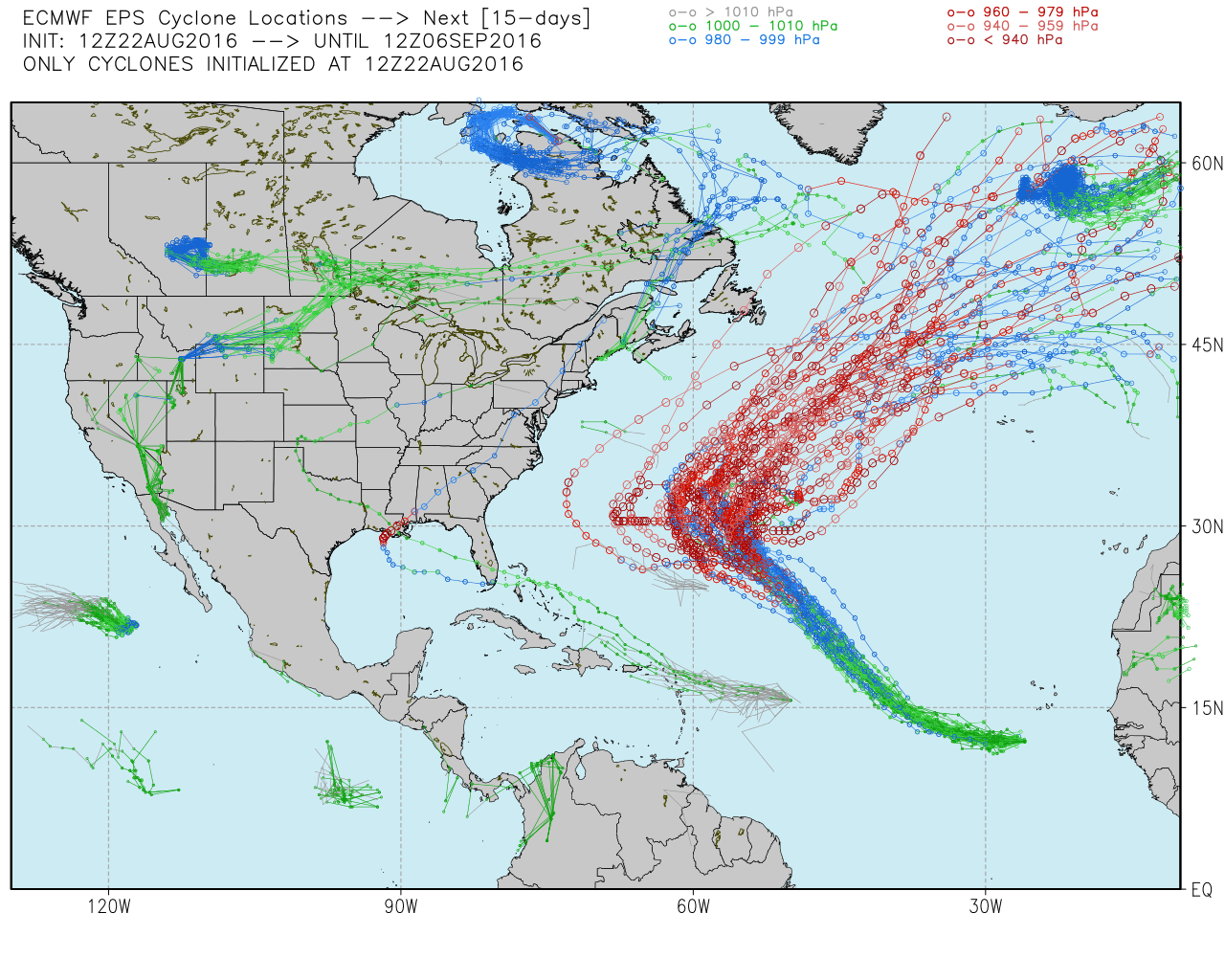
There are three disturbances in the Atlantic Ocean to keep an eye on. Tropical Depression Fiona should continue to meander northwest over the next few days. It’s no threat to the United States. Tropical Depression Seven is in the far Eastern Atlantic Ocean and has the inside track on becoming Gaston in the next couple of days. It will like take a track too far north to ever threaten the United States. There is another system, Invest 99L, that is just getting into the Caribbean. If that can overcome a somewhat hostile environment as it heads west through the Caribbean in the next few days, then it could eventually reach the Southeastern United States, either in the Atlantic Ocean or more likely the Gulf of Mexico.