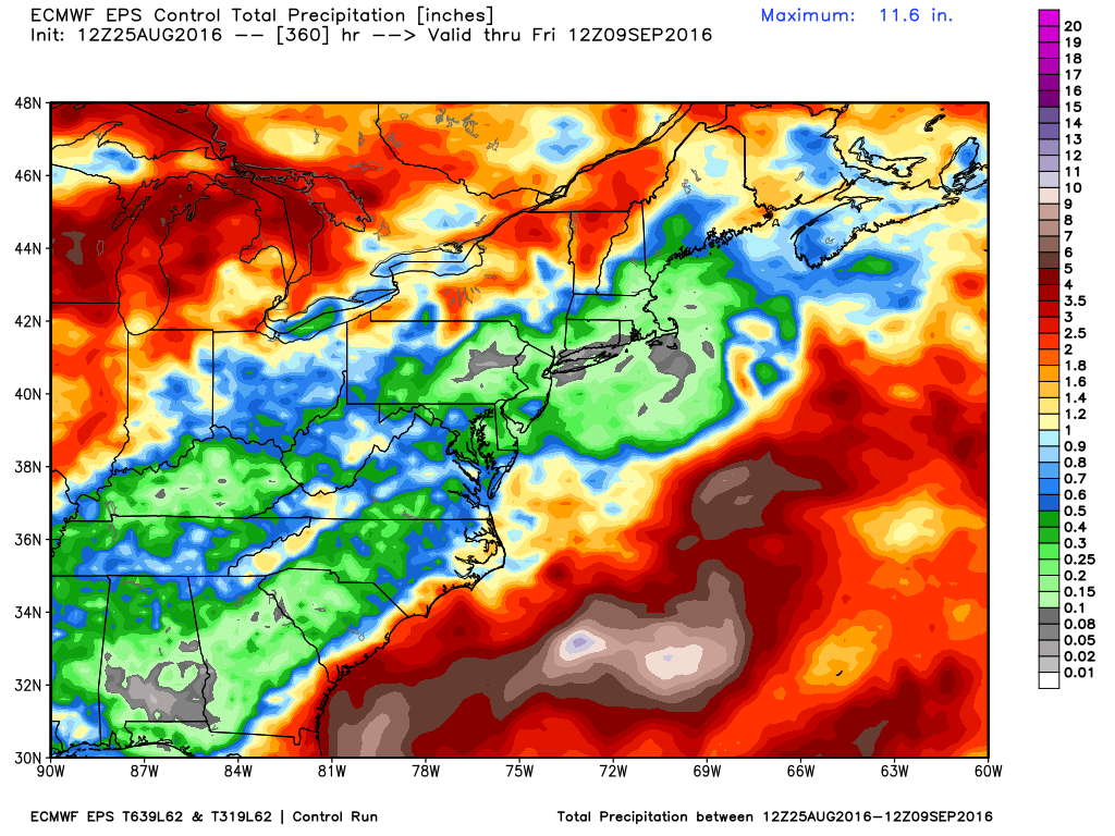
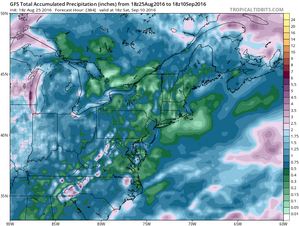
You can expect oppressively humid weather in Southeastern New England on Friday before it turns a bit drier this weekend. Also, scattered showers and t-storms are possible from midday through the afternoon as a cold front passes. It does not look like widespread rain, and the pattern will likely be very dry (barring anything from the tropics) in the next couple of weeks.
The weekend looks very nice. Expect highs in the 80s both days with plenty of sunshine. It will not be bone dry, but it won’t be super-humid either. More quiet, seasonably warm weather is ahead for most of next week. A passing t-storm cannot be ruled out Monday as a disturbance moves through. Both the GFS and European model are forecasting very little rain in the next two weeks in Southeastern New England.
This has already been a very warm August, and it’s likely to end with more relatively warm weather during next week. It’s too early to speculate on the weather for Labor Day weekend. We’ll start talking about that in the next couple of days.
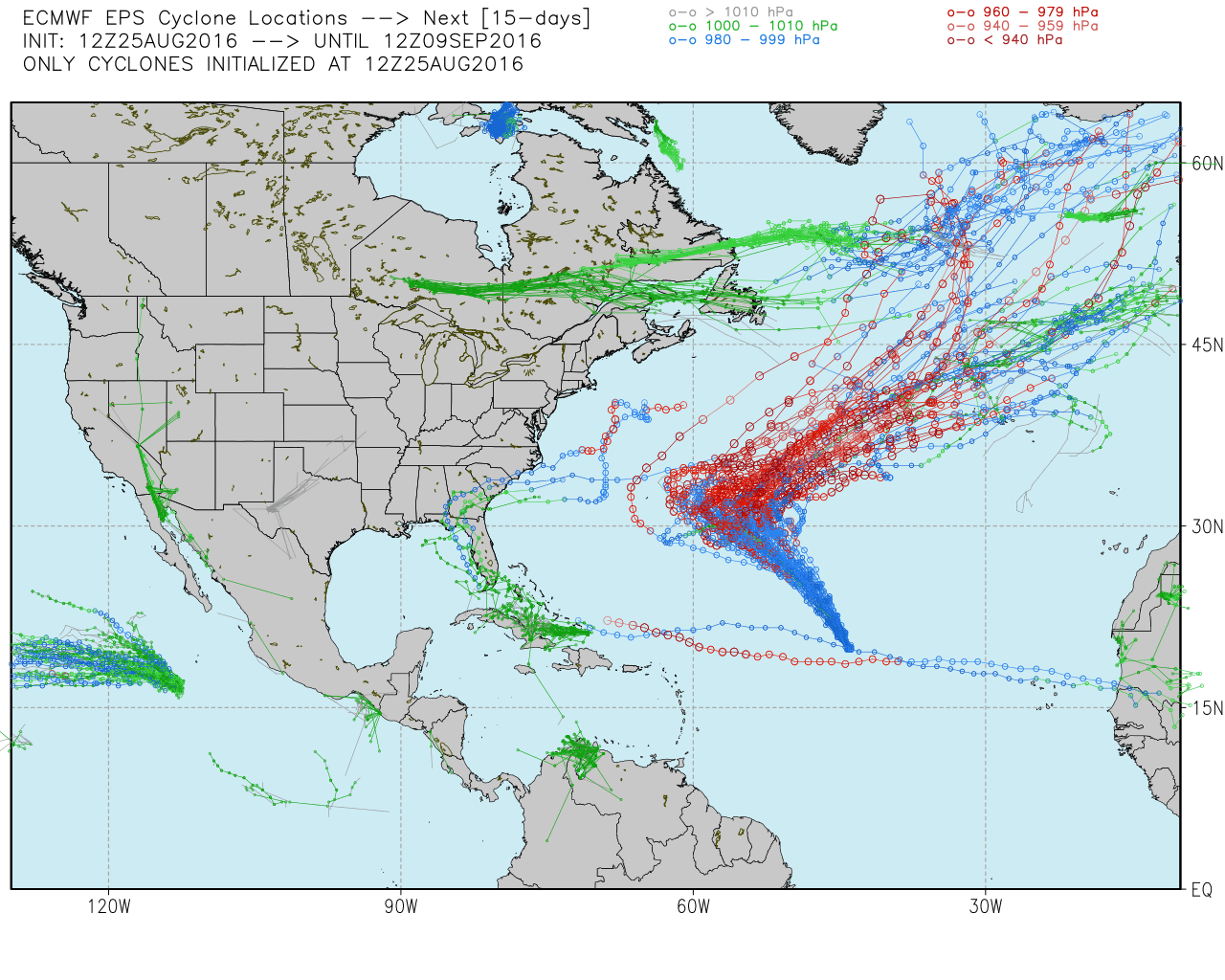
The tropics are somewhat active. Tropical Storm Gaston is heading for the central Atlantic Ocean and most likely will not impact land. The disturbance in the Caribbean is ticketed for the Gulf of Mexico, but it looks ragged on satellite, and may dissipate before getting there. If it can hang on into the Gulf of Mexico, then strengthening is possible.