A top-five warmest August will wrap up with more warm weather through the first half of the week. A rare round of showers/storms is possible in the midweek before cooler and drier weather arrives to round out the workweek and begin the Labor Day weekend. The cool-down will be temporary as the long-range outlook favors a return to summer-like warmth for the first full week of September.

The tropics are heating up. Tropical Depressions 8 and 9 formed on Sunday. TD 8 is off the North Carolina coast and drifting towards the Outer Banks. It may become a tropical storm as it brushes by the Outer Banks in the early to middle part of this week. There is a possibility that it comes far enough north or strengthens enough to at least bring rough surf to Southern New England beaches. There is a low chance that comes far enough north to bring any rain. The cold front moving through in the midweek should steer it out to sea. TD 9 is entering the Gulf of Mexico south of Florida. It will likely strengthen into a tropical storm and reach land somewhere along the Gulf Coast. The preferred track is through the Florida Panhandle and northeast into the Atlantic Ocean. We need to watch that storm closely because if it spends more time than expected in the Gulf before getting caught in the jet stream, it may have a chance to get far enough north and west that it clips the Southern New England with some rain on the way by. Odds are it will move out to sea far enough south that we stay dry.
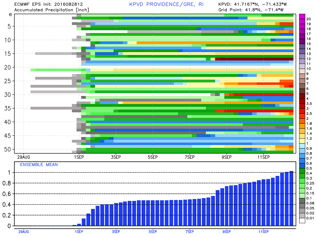
As for this week’s weather…expect a warm and muggy start to the workweek with drier air moving in late Monday. Highs will be in the mid to upper 80s on Monday. Tuesday looks great with plenty of sunshine, low humidity and highs in the 80s. It will stay in the 80s on Wednesday with muggier weather by late in the day. The best chance of showers/storms is Wednesday night into Thursday morning. It looks like the cold front will have enough punch for at least scattered showers, but don’t expect a major soaking. Clouds could linger on Thursday as the front moves offshore.

It will feel much cooler and drier late in the workweek. A northerly breeze will usher in fresh Canadian air, and the temperature will be in the 70s Friday afternoon. Lows will be in the 50s Friday and Saturday night. Saturday afternoon looks sunny and dry with highs in the upper 70s to low 80s. Sunday should be beautiful with highs in the same ballpark. The early outlook is for warmer weather on Labor Day. Expect highs in the 80s. I’ll keep you updated all week long!


