Back-to-back rain storms will put a nice dent in the rain deficit for November. While it’s still likely to be a drier than normal month, it will not be as parched as it was going into this week. Rain is likely Wednesday night. There may be some heavy downpours, but they could be localized, and the best chance of heavy showers is in western New England. Expect another 0.5-1″ of rain in RI and SE MA by dawn on Thursday. The rain will end late at night.
Fine weather is expected for the end of the workweek. The temperature will already be in the 50s early Thursday, and highs in the upper 50s are likely with mostly sunny skies and 10-20 mph westerly breeze. It will be clear and cool Wednesday night. Lows will be in the low 30s early Friday morning.
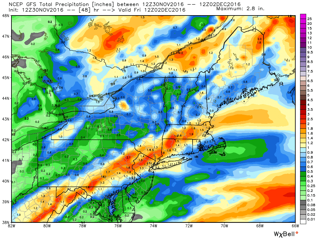
Friday will also be dry and seasonably mild. There will be a 10-15 mph westerly wind. Expect a blend of sun and clouds, and highs in the upper 40s to low 50s. Lows will be near freezing Friday night. The weekend will be bright and seasonable. Highs will be in the mid 40s both days with partly sunny skies. It will be cold Sunday morning with lows in the mid 20s inland and near 30 at the coast.
There is some uncertainty with the forecast for early next week. It looks like a storm will bring another round of rain on Monday, but the development of the track is not set in stone, and it could feature a bit of snow or miss Southern New England completely. Right now, I’m leaning towards another rain event on Monday, with highs in the 40s to low 50s.
The weather looks fairly quiet in the middle of next week. Highs will be in the 40s/50s with dry skies likely Tuesday and Wednesday.


