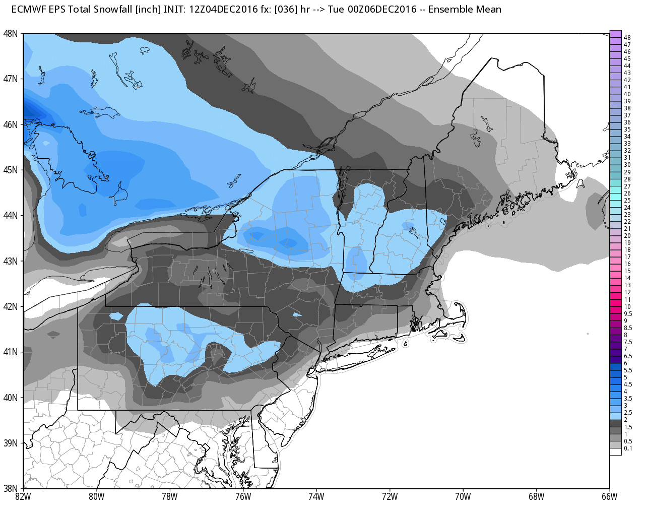
A minor wintry event is likely Monday morning. The best chance of slick travel is away from the coast and bay around dawn on Monday. Snow will likely change to rain showers from the coast to the I-95 corridor during the morning. The precipitation will be relatively light, and totals range from a coating along the coast, to up to an inch in the I-95 corridor, and an inch or two northwest of I-295 and I-495.
Any snow/mix/rain ends by early in the afternoon. There may be a few sunny breaks in the afternoon. Highs will be in the upper 30s to mid 40s. The temperature will dip to near or below freezing Monday night, but it will take a while, and a flash freeze is not expected.
There will be a brief break between systems on Tuesday. Look for a lot of clouds and highs in the low to mid 40s. Chilly rain is possible Tuesday evening into early Wednesday. It does not look like there will be heavy precipitation.
Dry weather is in the forecast for Wednesday afternoon into midday Thursday. A cold front will bring more rain showers late Thursday into Thursday night. Highs will be in the 40s Wednesday and Thursday.
Colder, windy weather moves in late in the workweek into next weekend. Highs will only be in the upper 30s on Friday, and it looks even colder on Saturday. Mainly dry weather is ahead for Friday and Saturday, with just a few flurries possible. It will stay windy on Saturday, and it will not make it out of the 30s. The early outlook for Sunday is for dry weather with a very cold start and highs near 40.


