A minor wintry event swept through Southeastern New England Monday morning. The “highest” snow totals were in interior Washington County and western Providence county. See the totals aggregated by the National Weather Service at the bottom of this post.
It will not be long before the next weather-maker heads our way. The brunt of a storm will move out to sea Tuesday night, but it should come close enough to give a glancing blow of light rain and snow to Southeastern New England. The best chance of snow is inland, and it does not look like more than a coating to an inch. There is a better chance of chilly rain showers south and east of Providence.
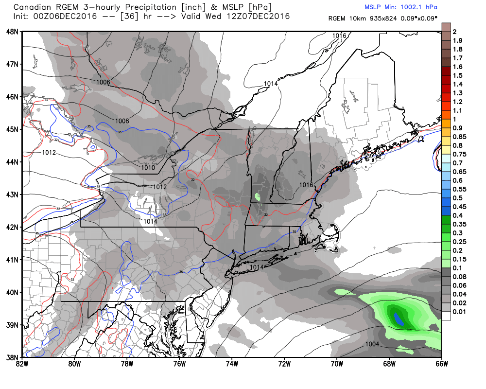
Expect clouds to increase during the afternoon on Tuesday. Highs will be in the mid 40s. Precipitation arrives around 10 pm, and continues off and on through the night into Wednesday morning. It should be light and spotty, with less than 0.25″ of water expected. The areas that see some snow north and west of I-295 will most likely see less than an inch of accumulation. A few slick spots are possible overnight into the Wednesday AM commute inland.
Mainly dry weather is likely from Thursday through the weekend. It will gradually get colder. Highs will be in the low 40s Wednesday and Thursday. It turns windy with highs in the upper 30s on Friday. Wind chills will be in the 20s. Saturday looks even colder, with highs only in the low to mid 30s and wind chills in the 20s.
Rain and/or snow is possible early next week. Right now, it looks like a better chance of rain than snow.
RHODE ISLAND

...KENT COUNTY...
   2 ESE EAST GREENWICH   0.5   700 AM 12/05  COCORAHS
   WEST WARWICK           0.5   722 AM 12/05  HAM RADIO
   2 NNW WARWICK          0.4   710 AM 12/05  AIRPORT

...PROVIDENCE COUNTY...
   WESTERN CRANSTON       1.0   900 AM 12/05  TRAINED SPOTTER
   NORTH FOSTER           0.9   835 AM 12/05  CO-OP OBSERVER
   N. CUMBERLAND          0.7  1110 AM 12/05  TRAINED SPOTTER
   1 NNW GREENVILLE       0.5   700 AM 12/05  COCORAHS
   WSW MANVILLE           0.5   700 AM 12/05  COCORAHS
   SCITUATE               0.5   821 AM 12/05  HAM RADIO
   PROVIDENCE             0.4   711 AM 12/05  NWS EMPLOYEE
   2 NE PROVIDENCE        0.4   700 AM 12/05  COCORAHS
   1 SSE HARRISVILLE      0.4   700 AM 12/05  COCORAHS
   1 S NORTH SMITHFIELD   0.3   600 AM 12/05  COCORAHS

...WASHINGTON COUNTY...
   RICHMOND               1.0   755 AM 12/05  HAM RADIO
   4 NNE RICHMOND         1.0   730 AM 12/05  COCORAHS
   8 NNE KINGSTON         1.0   700 AM 12/05  COCORAHS
   7 NNW KINGSTON         0.7   800 AM 12/05  COCORAHS
   6 W KINGSTON           0.4   800 AM 12/05  COCORAHS
   4 S HOPE VALLEY        0.3   700 AM 12/05  COCORAHS


