September 19th Update
Glancing blow from Jose; Maria wreaks havoc in the Caribbean
Hurricane Jose will deliver a glancing blow to most of RI and SE MA as a tropical storm. The biggest concerns for damaging wind and heavy rain are on Cape Cod and the islands. Also, a persistent northeast wind for several days will lead to coastal flooding and beach erosion in some spots along the Massachusetts coast.
The center of the storm will pass southeast of Nantucket and move very slowly in the late-workweek. It will likely be close enough that a northeast breeze will continue through Friday. There’s a small chance the highest wind gusts of the week in some spots could happen on Thursday if the storm does not get too far east. There will be some sunshine on Thursday, and as the storm transitions to extratropical, strong gusts could mix down from a few thousand feet up in the atmosphere. I would not be shocked if some of RI or interior SE MA saw 45 mph gusts on Thursday – if the storm is still close enough.


The weather looks fairly quiet, and relatively warm, through the weekend and into next week. Whatever showers we get from Jose may be the only rain that we see through the middle of next week. Unless Jose over-delivers on the rain potential in the next two days, September is shaping up to be a dry month in RI.
Hurricane Maria caused widespread devastation on the small island of Dominica last night. Now it is taking aim at Puerto Rico, where it is expected to hit as a category 4 on Wednesday. At this point, all we can do is hope that it weakens some before reaching the island, because there is high confidence in a track very close to or right over the island. It could be the strongest hurricane to hit Puerto Rico since 1928.

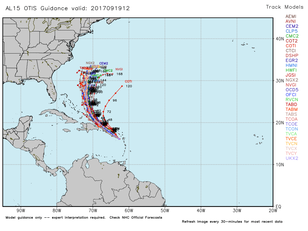
The long-range forecast for Maria favors an out to sea track next week, but we cannot completely write off any impact in the Eastern United States. We’ll have a better idea about Maria’s track after it moves north of the Caribbean Islands.