The workweek begins with nice and mild weather on Monday. Southern New England will see plenty of sunshine. A sea breeze cools the coast in the afternoon. Highs will be in the 60s inland and 50s near the coast. Tuesday features a few more clouds and an onshore breeze. Expect highs in the low 60s inland and 50s at the coast. It will have a cool feel in the afternoon.
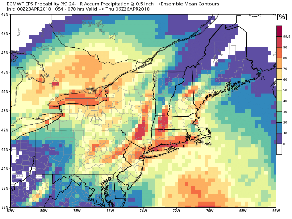
Rain is likely on Wednesday. There is a decent chance of about a half-inch of rain during the day and into the evening. It will be cooler with temps in the low to mid 50s. Dry weather likely returns on Thursday and lasts through Friday. Expect seasonable conditions both days.
It’s a close call with showers on Saturday. It will probably turn a bit cooler this weekend regardless of any rain. Highs will not be far from 60 both days. The best chance of showers is on Saturday, with dry weather likely on Sunday.
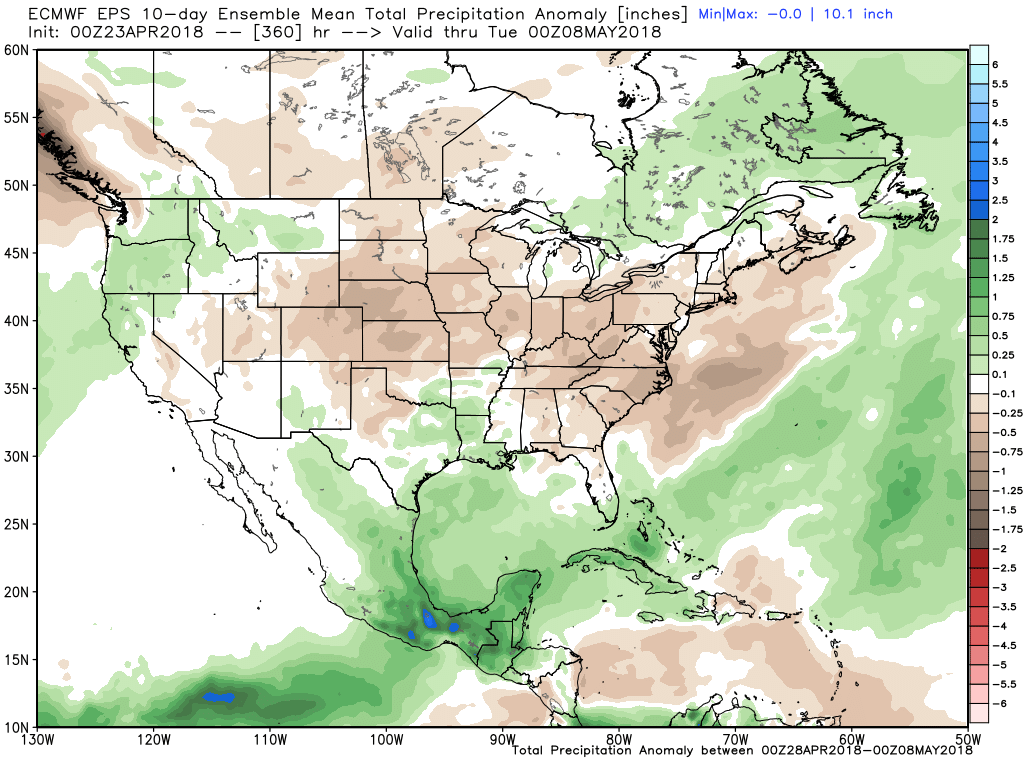
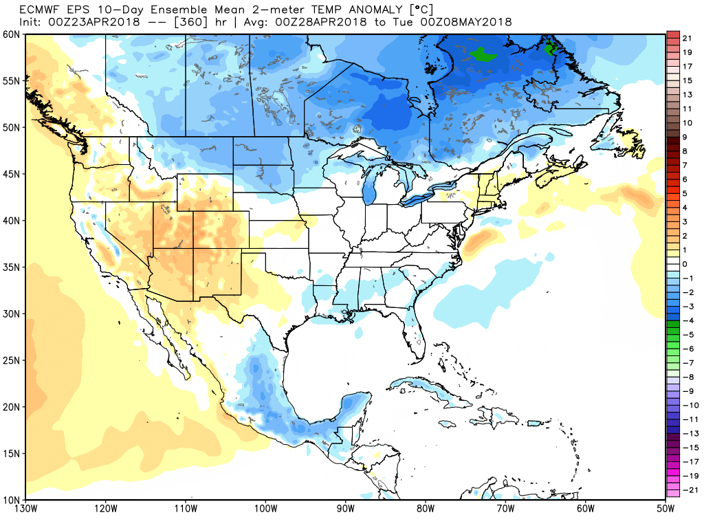
The overall trend is for seasonable weather in late April and early May. It may also be mainly dry next week. New European weekly outlooks come out tonight, and I’m interested to see if it’s a little milder than earlier forecasts for May.