Southern New England gets a brief respite from hot and humid weather this weekend. It looks like a beautiful weekend with low humidity and slightly cool (but still nice) conditions. There should be a lot of sun both Saturday and Sunday, with highs in the 70s coast to low 80s inland.
It warms again early next week, with highs inland close to 90° Monday afternoon. It will likely reach the 90s inland on Tuesday. The humidity will creep up, too. Overnight lows in the 50s to low 60s this weekend will give way to upper 60s and low 70s by midweek. It likely stays dry through Tuesday. Look for some relief at the beaches with temps in the 80s.
A front sliding through on Wednesday could trigger a stray shower, but widespread rain is unlikely. In fact, after Friday’s shower/storm threat with the front that ends the heat/humidity, there is not much rain expected through next workweek. It may get a bit cooler in the mid to late week near the coast, but inland temperatures should stay at or slightly above normal.
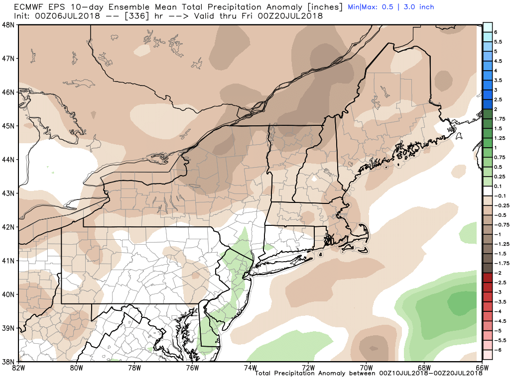
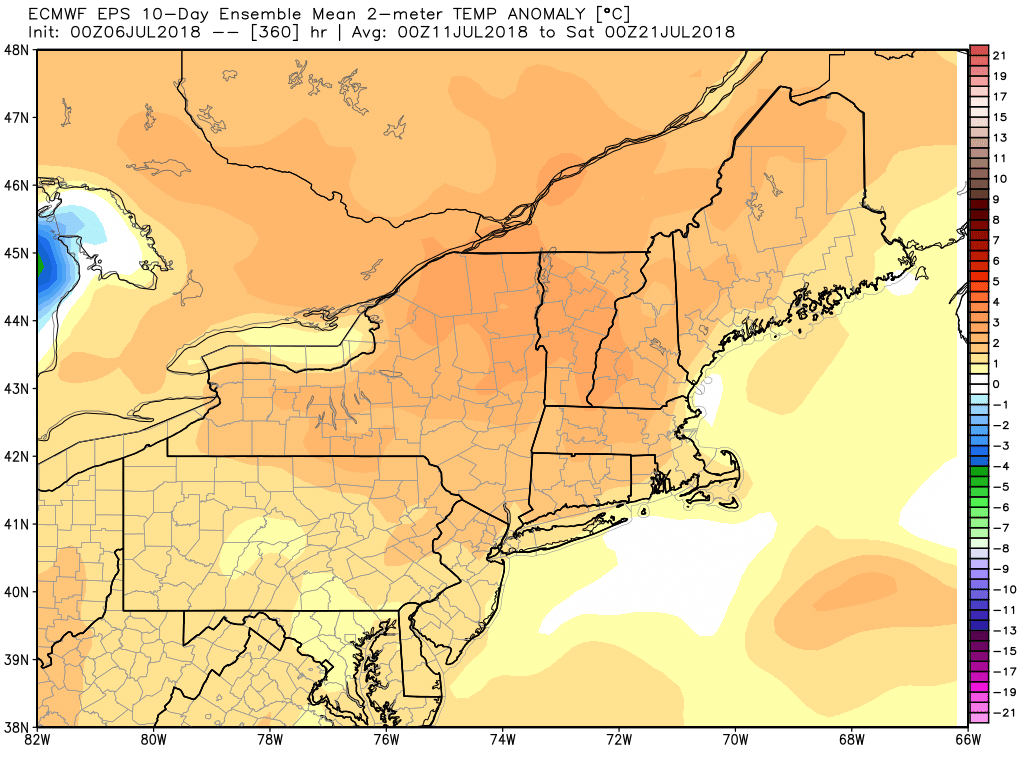
The Euro and GEFS weeklies show relatively warm weather for most of July. It does not look like scalding heat with record-breaking warmth. Rather, a typical mid-summer pattern that brings seasonably warm and mainly dry weather. That’s not great news for lawns that are already turning brown. I will be watching the drought monitor through the month. Part of Southern New England is already classified as Abnormally Dry. A Moderate Drought could develop inland by month’s end.

The tropics are heating up a bit. Hurricane Beryl formed in relatively cool water well east of the Caribbean Islands. It is expected to weaken as it encounters significant wind shear as it nears the Antilles this weekend. The long-range forecasts take what is left of it through the Caribbean in the next week. We’ll see how well it holds together.
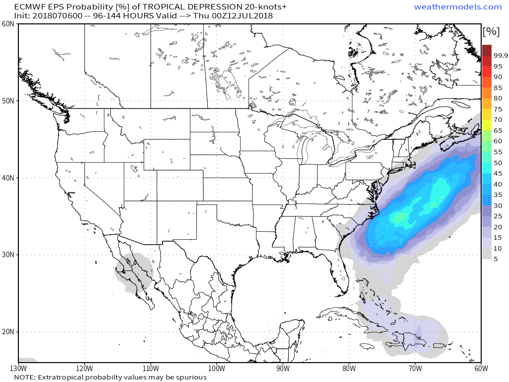
There is also a decent chance of a tropical or sub-tropical storm off the East Coast in the next 2-5 days. It will likely stay offshore as it moves northeast next week. It may throw some surf at the Southern New England coast during some nice beach weather early next week.


