


The beautiful weather will continue on Thursday. Once again, we’ll enjoy a fair amount of sunshine, and it will be a bit warmer, with highs in the low to mid 60s. The breeze will kick in out of the south in the afternoon to 10-15 mph. Thursday night does not look particularly cool as the breeze stays up and clouds being to arrive from west to east. Lows will be in the low to mid 50s Friday morning.
Southern New England Rain threat Friday and Saturday
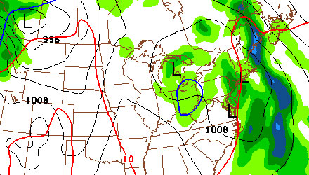
As we’ve been telling you for a while, Friday is not looking great. A slow-moving frontal system will bring showers, mild temperatures, and gusty southerly winds. A few renegade showers are possible through Friday morning, but the bulk of the rain should hold off until the afternoon and evening. The wind will pick up to 15-25 mph, with some higher gusts likely near the coast. The temperature will jump into the mid to upper 60s as that southerly wind brings in some warmer air.
There has been a lot of ebb and flow to the Saturday forecast. Right now, there is a 50/50 chance that showers linger on Saturday to the point that some outdoor events would be impacted. It all hinges on whether a storm spins up as the front slows down on its approach to Southern New England. There are two scenarios we’re looking at for Saturday.
- A storm develops along the front and showers continue through the day. It will be relatively mild, with highs in the mid to upper 60s, but also rather wet, with the potential for some heavy downpours, especially in Southeastern Massachusetts.
- The system is progressive, meaning the front continues moving through, no storm develops along the front, and, after some morning clouds, we have a dry and seasonable afternoon with some sunshine.
It’s too tough to say exactly what we’re going to get, but the trend among the computer models has been for the system to be slower with showers on Saturday. We’ll reassess the situation on Thursday. Looking ahead to Sunday, that forecast is also somewhat contingent on how the aforementioned weather system behaves. Either way, Sunday looks dry, but if it rains on Saturday, then Sunday will likely be breezy and cooler, with partly sunny skies. If the system moves through by early Saturday, then high pressure should be returning to Southern New England, and we’ll see a very pleasant day.