


There will be another storm this weekend, but, unlike the past two weekends, rain looks like it will be a much bigger factor in Southeastern New England. The weather setup is not as favorable for snow near the coast, and some areas may see mostly or all rain depending on the storm’s track.
Basic Weather Setup
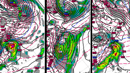
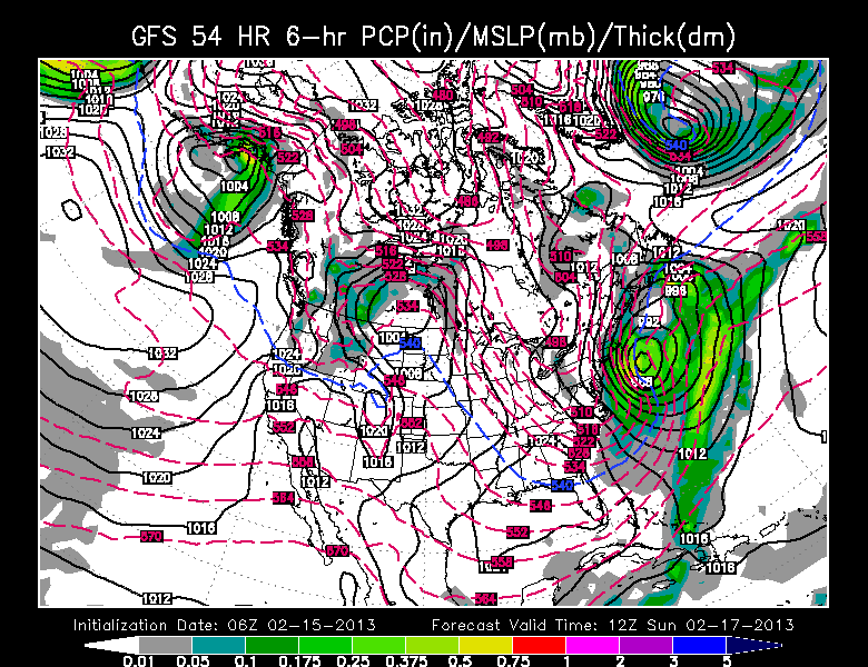
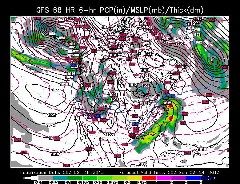
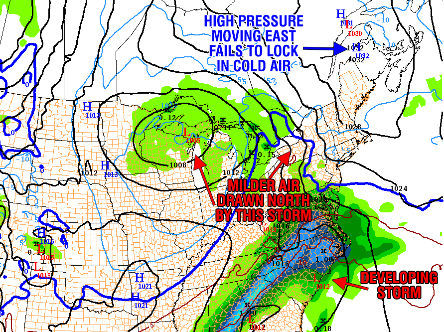
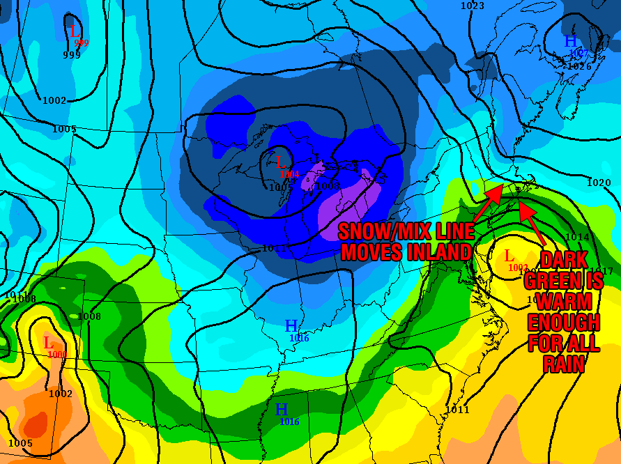
The basic setup has the big storm that is moving through the Midwest today heading into the Great Lakes and weakening by early Saturday. At the same time, a southern branch storm developing over the Southeast goes from the Mid-Atlantic to south of Long Island by Saturday night. High pressure situated to the east-northeast of the system will not do a great job of holding any cold air in near the coast, and an easterly wind will likely lead to a changeover or mainly rain. Comparing the weather maps for the past two weekend storms to this storm, it’s clear that this is not the same setup as either of the past two weeks.

What increases snow odds?
While the forecast is favoring rain near the coast, it is still a very close call. There are a couple of factors that could still lead to an appreciable snowfall from near the coast to Providence. First, if the storm tracks a little farther south than forecast the wind will be out of the northeast instead of the east. That helps to lock in the colder air. Second, as the storm intensifies, if it stays far enough south, then the storm could end with several hours of snow as it slowly moves east late Saturday night and Sunday morning. This change from rain or a mix to heavy accumulating snow does not happen very often in the Providence area. Usually, the bulk of the precipitation moves north of RI and SE MA, then it shuts off as the colder air wraps in behind the storm. That’s not to say it won’t happen differently this time. It all depends on how far north the low pressure center gets before moving east.