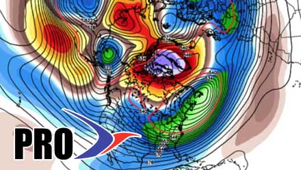
Having spent 14 years in the television business, I know all about re-runs. Trust me, this Long Range Forecast is not a re-run, even though it looks very similar to the forecast issued on Monday. The bottom line is there is no major change in the weather pattern expected for the next 10-12 days.
We’re eyeing a storm on Monday that may come close enough to bring a wintry mix. Other than that, next week looks fairly quiet, but still cool. Looking farther ahead, the next shot at a storm is probably between April 1-3. That storm, which has been forecasted consistently for a few days by the GFS model, may signify the beginning of the end of this weather pattern that is keeping it chilly in the Eastern US.
For the month, the average temperature is now below normal. The past week as been much colder than normal, and the next week also looks chilly, but not quite as cold as the last seven days. As mentioned earlier, this March may feature fewer 50° days (2 so far) than the number of 70° days (six) last March. The high temperature at TF Green this month has been 54°. Last March, there were 15 days warmer than that. That is quite a turnaround from year to year!
