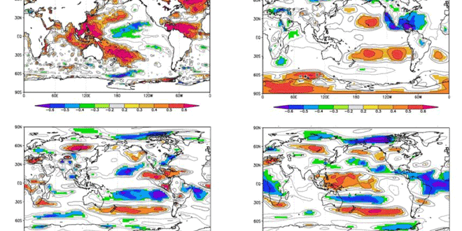
Colorado State University researchers have released an update to their 2013 Atlantic Hurricane Season forecast and it calls for enhanced activity and an above-average probability for major hurricanes making landfall along the United States coastline and in the Caribbean. Dr. Philip J. Klotzbach and William M. Gray are pointing to anomalously warm water temperatures in the Atlantic Ocean and little chance of an El Nino as contributing factors to a hurricane season that they are predicting to be about 1.5 times more active than a typical year.
Here are the numbers from their Atlantic Basin Seasonal Forecast for 2013. The update was released on April 10.
| Forecast Parameter and 1981-2010 Median (in parentheses) |
Issue Date 10 April 2013 |
| Named Storms (NS) (12.0) | 18 |
| Named Storm Days (NSD) (60.1) | 95 |
| Hurricanes (H) (6.5) | 9 |
| Hurricane Days (HD) (21.3) | 40 |
| Major Hurricanes (MH) (2.0) | 4 |
| Major Hurricane Days (MHD) (3.9) | 9 |
| Accumulated Cyclone Energy (ACE) (92) | 165 |
| Net Tropical Cyclone Activity (NTC) (103%) | 175 |
PROBABILITIES FOR AT LEAST ONE MAJOR (CATEGORY 3-4-5) HURRICANE LANDFALL ON EACH OF THE FOLLOWING COASTAL AREAS:
- Entire U.S. coastline – 72% (average for last century is 52%)
- U.S. East Coast Including Peninsula Florida – 48% (average for last century is 31%)
- Gulf Coast from the Florida Panhandle westward to Brownsville – 47% (average for last century is 30%)
PROBABILITY FOR AT LEAST ONE MAJOR (CATEGORY 3-4-5) HURRICANE TRACKING INTO THE CARIBBEAN (10-20°N, 60-88°W)
- 61% (average for last century is 42%)
The forecast was also developed on an extended-range early April statistical prediction scheme that utilizes 29 years of past data to help determine what will happen in the tropical Atlantic Basin during hurricane season. The researchers also look at similar past years as analogs for the upcoming season.
