


Clouds moved away from Southern New England by early Wednesday afternoon yielding some nice, mild late-April sunshine. The temperature jumped well into the 60s inland while stayed in the upper 50s near the coast as an onshore breeze developed. A cold front will trigger scattered showers and thunderstorms Wednesday night as it moves through Southern New England.
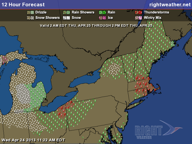
The front was delivering widespread showers/storms to the Ohio Valley and Mid-Atlantic Wednesday afternoon, but it should weaken some as it passes RI and SE MA. The temperature will fall into the mid to upper 40s overnight. The showers threat ends shortly after dawn on Thursday.
Thursday should turn out to be a beautiful day, with early clouds giving way to sunshine. There will be a 10-15 mph northwesterly breeze. It will be very dry, with highs in the mid 60s inland, and near 60 at the coast. Thursday night will be clear and chilly, with lows ranging from the mid 30s to low 40s.
A weak disturbance will head for Southern New England on Friday. Look for a few more clouds with the chance of widely scattered showers. Highs will be in the low 60s. Overall, it does not look like a bad day.
The weekend is shaping up to be quite nice. A large area of high pressure will dominate the weather pattern in the Northeast into next week. The result will be seasonable mid-spring weather. Skies should be mostly sunny during the day, and clear at night. Highs will be in the low to mid 60s inland, and near 60 at the coast. Overnight lows will be in the 30s in the countryside and low 40s in the cities and near the coast. Fine weather continues into early next week, with the high pressure center drifting to the east, allowing slightly warmer weather to arrive.
Cover photo by 02809photo.com