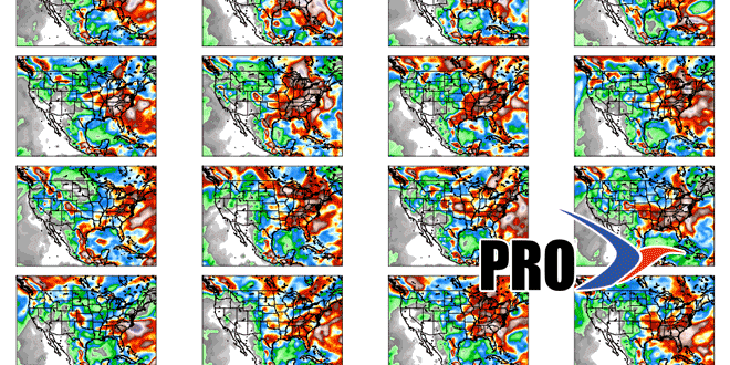
A blocky jet stream pattern is likely to lead to a somewhat stagnant pattern over the United States in the next two weeks. Initially, it will be a dry pattern in the Northeast. High pressure will be centered over New England or the Canadian Maritimes through, at least, the middle of next week. The farther away the high pressure center is from Southern New England, the close we will be to a boundary which includes clouds and showers. Right now, it looks like that boundary stays over the Mid-Atlantic and Southeast for a while. The result will be dry, seasonably cool weather in New England. High temperatures should not be too far from 60, with lows hovering around 40. In the first week of May, the normal high is about 65, with a normal low near 45.
Eventually, the pattern may shift far enough east to allow for a slow-moving storm to bring an extended period of wet weather to the Northeast. The evolution of this pattern can be uncertain 10-14 days out, and it is also possible that New England never gets the slow-moving rain storm. In my estimation, there will probably be a slow moving storm sometime between May 5-10.
