It’s hard to believe it is time for another seasonal forecast. Time is really flying by! Thankfully, the Right Weather Southern New England Spring Outlook turned out quite well. It was just a bit drier than we expected, although we were calling for near to below normal precipitation. We also called for a cool start followed by a gradual warming trend. That is exactly how it played out. March was 0.4° below normal, April was 0.1° below normal, and May was 1.5° above normal, for a seasonal average of 0.33° above normal.
Now, it’s on to the always tricky summer forecast. Usually, in my days at ABC6, we would wrap in some hurricane season predictions because the two go hand in hand. This year, we have released our tropical outlook separately. So, what are we looking at in Southern New England this year?
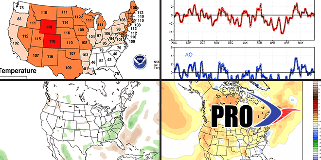
First, we’ll take a look back at last year. It turned out warmer than normal after a rather cool start in June. Nationwide, it was the third warmest summer on record (past 118 years). In Southern New England, it was in the top 10 with RI ranking 10th, MA 8th, and CT 6th. Rainfall was near to above normal.
Looking ahead to this summer, the forecast is particularly tricky and the lowest confidence of the seasonal forecasts dating back to last fall. There is no La Niña or El Niño in the Pacific Ocean. Neutral ENSO conditions are likely to continue through the summer. The North Atlantic Oscillation has shown some variability, but it has tended to be negative more often than not in the past year. Most recently, however, it has been positive most of the time since mid-April. The gist of the summer forecast is going to be persistence and reliance on the long range computer models – which are not as accurate as we would like them to be.
In the near term, we expect June to be an unsettled month with near to cooler than normal high temperatures, and near to above normal low temperatures. Rainfall should be near to above normal. If the rain comes with a southerly breeze, than the highs will likely be below normal with lows above normal. Some kids are in school later than normal this year because of time missed from Sandy and the snowstorms. It does not look like they’ll be really sweating it out with an extended stretch of unusually warm weather. Over time, our expectation is that July and August will be near to warmer than normal. Rainfall should be near normal, but that can vary greatly over short distances given the showery nature of summer precipitation.
In the end, we expect a warmer than normal summer that is not brutally hot. The drought in the Plains has been easing, and the higher moisture content of the soil in the Midwest may help to cool summer airmasses slightly compared to last year. We also expect there to be a fairly progressive pattern in place that keeps the hot stretches from lasting for more than 2-3 days before a cold front and wind shift brings cooler weather. Of course, with a steady diet of cold and warm fronts in the forecast, there is the potential for thunderstorms and severe weather in the spring and summertime. The showers/storms should help to prevent it from being a very dry summer. As far as severe weather potential goes, that cannot be predicted on a monthly or seasonal scale, and it’s something we’ll be monitoring daily on rightweather.com.
