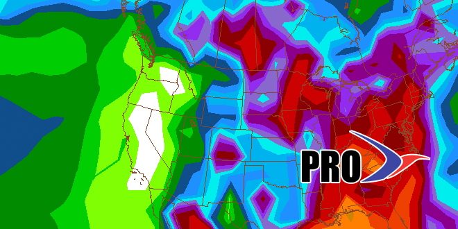
It has been nearly two weeks since the temperature fell below 66° at TF Green Airport. I hope you have a dehumidifier and air conditioning! The weather will stay fairly humid for the next couple of weeks, not that it is unusual for mid-July. The consistent 90° heat will end early next week, and, although there may be a couple of 90° days between July 8-20, it is not likely there will be another heat wave. The jet stream will dip a bit farther south bringing a series of fronts through Southern New England next week. The following week it looks like a similar pattern to late-June will develop along the Eastern Seaboard. In case you forgot, that means a fair amount of clouds, with scattered showers and humid conditions. Right now, the mid-July pattern does not look as gray as the late-June pattern, and it’s possible it will break to typical “dog days” Bermuda high pattern quickly.

Long Range Forecast – July 5
