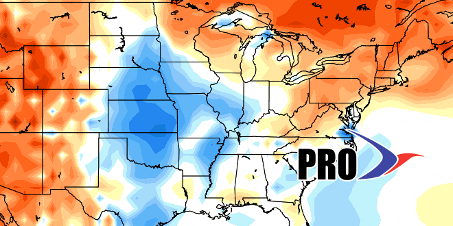
Another shot of dry, cool, and pleasant weather from Canada will follow Tuesday’s thunderstorms. That will stick around through the workweek before it starts to get a bit muggier this weekend. The pattern in for the 7-14 day timeframe will be a clash between the Bermuda high trying to build west, and a series of disturbances that may move up the Eastern Seaboard or Appalachians while drawing moisture from the Gulf of Mexico.
The upshot is a muggier pattern with the potential for rain and/or warmer weather. Right now, it seems unlikely that we’ll get back into sustained 85-90°+ heat, but the humidity will be higher than it’s been for most of the last three weeks, and the overnight low temperatures are more likely to stay in the 60s. 5 of the last 12 days have been in the 50s in Providence, and we’ll likely see 50s on Wednesday, Thursday, and Friday, too.
Some models are projecting increased activity in the tropics. It’s not a lock, and if there are not a couple of storms in the next couple of weeks, then the odds of most (including our) hurricane forecasts being correct are rather low.
