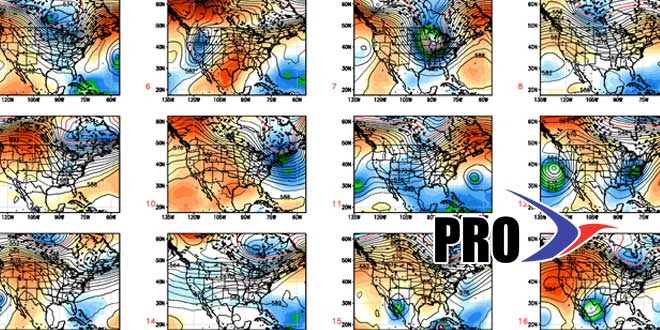
We’re keeping an eye on the ocean storm situation for early next week. Right now, it does not look like a big impact, if any at all. It’s a situation worth watching because of the potential for rain/wind if the storm comes just a little closer than currently projected. To be honest, the storm is probably getting more coverage than it warrants because the pattern has been so quiet lately. We’ll continue to update the ocean storm situation in the Computer Model Trends posts as needed.
Regardless of any ocean storm impact, it looks like there will be a warm-up in the Northeast in the middle and end of next week. Highs will be in the 70s, maybe even 80° for a day or two between Wed-Fri. Normal highs are in the upper 60s. It will stay dry into, and possibly through, next weekend. A sharp cold front will approach the Northeast late next weekend, and showers are likely at some point between October 6-9 depending on the speed of that system.
There will be a wealth of cool air moving into Canada behind that system, but it may not make it into the Northeast. In fact, most of the workweek from October 7-11 may be warmer than normal in Southern New England.
