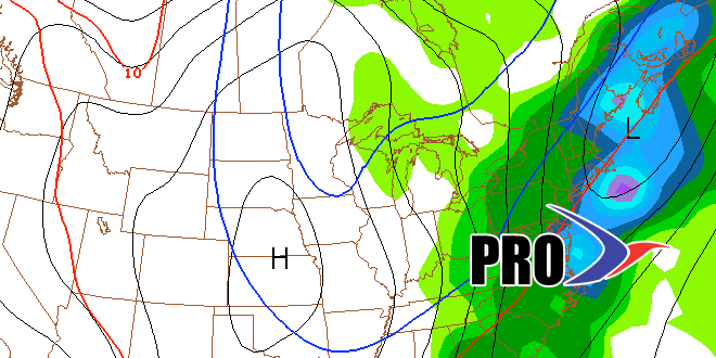
The cold weather is coming east. It will not be an issue through early next week, but you will notice a big difference in the middle of next week after a cold front moves through by Wednesday morning. The first frost or freeze of the season is likely before the end of October in all of Southeastern New England. We are expecting the weather to average 3-4° cooler than normal in the last week of October. That is not brutally cold, but in a month where the temperature has averaged 4° warmer than normal it will be a shock to the system.
We do not expect any major storms through next weekend. The pattern is ripe, however, for a storm to form and have an impact in the Northeast sometime between October 28 and November 1. The weather geek message boards are alive with chatter of another freak early season snowstorm, but that talk is very premature. At this point, it looks like the best chance of any snow would be over the highest terrain of Northern New England and the Adirondack Mountains. A lot of the talk is based on a couple of computer model runs in the past few days that showed a storm track that would draw in enough cold air for the high elevation snow. Of course, there have also been just as many, if not more, computer model runs that bring stormy weather with no snow at all in the Northeast. As always, we will keep you posted!
