You may remember a couple of weeks ago we talked about the potential for some action off the East Coast during the second week of October. Lo and behold, there will be plenty of action to keep an eye on in the next week as the remnants of Karen develop off the Southeast coast then swirl around within shouting distance of the East Coast for several days. It looks like that storm will make two passes at Southern New England. The first will be late in the workweek, between late Thursday and early Saturday. The best chance of showers is on Friday. Most of the Columbus Day weekend looks ok, but not spectacular. There will be some clouds and a cool northeast breeze as high pressure from Eastern Canada pushes the storm south of Southern New England.
Eventually, the storm will make another run at SNE sometime from late in the holiday weekend through the middle of next week. The timing of the second pass is uncertain at this time. Right now, it looks like the best chance of another round of breezy rain from Karen’s ghost is Tuesday of next week. Another storm will threaten SNE with rain late next week or during the weekend of Oct 19-20.
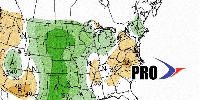
Overall, the pattern will be warmer than normal, even though there will not be too many balmy afternoons. The bulk of the “warmth” will come at night when temperatures are in the upper 40s to low 50s instead of the low to mid 40s. The daytime high temperatures will be in the low to mid 60s most of the time.
