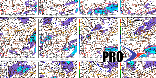
It looks like you can just about stick a fork in the storm threat for next week. While we never say ” never” in the weather center, the odds of an East Coast storm are very low. The European model has trended to the GFS (and every other model) solution of dry, cool weather in the Northeast next week. In yesterday’s trends we mentioned the positive NAO as a factor that tilted the scales in the “no storm” direction. The progressive solution seems to be the correct one. Check the graphics for more.
There may be some snow next week, however. An Arctic cold front will bring snow squalls Tuesday morning. The middle of next week looks quite cool – even for mid-November. Highs will struggle to reach 40°. The first two days of November were 13° warmer than normal, since then the temperature is averaging about 6° below normal. By this time next week the month should be averaging a couple of degrees colder than normal.
